Global health and water security are connected in multiple ways, and related data can be used to inform health-related decision making and interventions.
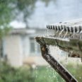
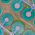
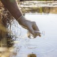
Guaranteeing access to sufficient water supply of good quality while also protecting communities from water-related threats such as flooding and other extreme weather events are crucial to promote human health. We look at water-related infrastructure, such as provision of safe drinking water, sanitation and hygiene (WASH), as well as water-related knowledge and behaviour, and how resulting health challenges, such as water-related infectious disease exposure, can be prevented.
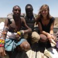
We work in different regions and among different populations in low-, middle- and high-income countries. Central to our work are the United Nations Sustainable Development Goal (SDG) #6: access to water and sanitation for all, and SDG 3: good health and well-being for all at all ages.
We look at water and health challenges from a broader perspective, which includes implications of
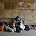
- Extreme weather events, e.g. the impact of flooding on the accessibility and functionality of WASH and health infrastructure, and on physical, mental and social health outcomes.
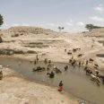
- Inequality, e.g. variations in access to safe WASH in space and time, and among different population groups.
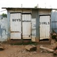
- Education, e.g. the importance of water-and health-related knowledge for health promotion, and the provision of safe WASH in schools.
- Cultural context, e.g. water-related practices and behaviours, health-related (mis)beliefs, local knowledge of water and health and their importance for contextualized health-related decision making.
WATER, HEALTH AND DECISIONS RESEARCH
At ITC, we look at the various connections between global health and water security, and how related data can be used to inform health-related decision making and interventions.


MORE INFORMATION
