Geo-health integrates spatial analysis methods and concepts with epidemiology to provide you with skills to address a variety of health and disease analyses
Interested in learning how to make planetary health a reality and help create a sustainable, healthy liveable world? Are you interested in assessing health risks due to environmental changes (e.g. climate, land use) or evaluating who is at risk and how to respond, or want to make a map from known cases to understand where something is taking place and identify disease or transmission hotspots?
Take our 10-week online geo-health course to learn how to integrate geographic information, use different geospatial technologies and apply spatial data science methods to understand different health aspects better.
Geo-Health aims to give students comprehensive knowledge and skillsets to critique and address a range of global health issues. Students will be introduced to a variety of topics and concepts centred around how geo-spatial information and technologies can be used for addressing health and disease. Three main facets of public health will be covered: health risk – understanding where and when risks are and who may be affected; health response & services – examining accessibility to healthcare and inequalities; and health communication & decision making – communicating risks and the role of digital information and tools in providing information and aiding the decision-making process that include data structures and ethics.
What is geo-health?
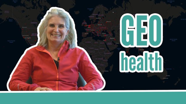
In this video Professor Justine Blanford explains what is geo-health and how can it help solve the world's worst diseases.
For whom is Geo-health
The course is designed for Public Health Professionals and Crisis Responders or anyone with an interest in spatial epidemiology and an interest in health and disease mapping and modelling.
Geo-Health Course content
The Geo-Health course is organised around interactive weekly discussions and short weekly projects with a more substantial term project on a topic of your choice, due during the final week of the course (lesson 10). Each week you will tackle a specific health or disease problem integrating the theories with spatial data and different methods.
Problem scenarios range across:
- data surveillance and infrastructure planning;
- modelling vector-borne diseases;
- evaluating and planning health infrastructure;
- cluster analysis;
- risk mapping;
- networks and connectivity;
- responding to disease outbreaks and epidemics;
- and other application areas.
Course structure
The course has been designed to be 10 weeks in length. We expect you to complete one lesson each week. You need to spend a minimum of 12 hours per week on the course.
The course is organised around interactive weekly discussions and short weekly projects with a more substantial term project on a topic of your choice, due during the final week of the course (lesson 10). Each week you will tackle a specific health or disease problem integrating the theories with spatial data and different methods. Problem scenarios range across data surveillance and infrastructure planning, modelling vector-borne diseases, evaluating and planning health infrastructure, cluster analysis, risk mapping, responding to disease outbreaks and epidemics and other application areas.
What will be achieved?
Online learning, what is it like?
The general approach of the course is task-based learning which blends theory and practice. The study load is a minimum of 16 hours per week. All materials will be available online in ITC’s digital learning environment Canvas. We will use email for individual communication and a discussion board in Canvas for group communication.
About your diploma
Upon successful completion of this course you will receive a Certificate which will include the name of the course.
Along with your Certificate you will receive a Course Record providing all the subjects studied as part of the course. It states: the course code, subject, ECTS credits, exam date, location and the mark awarded.
If you decide to follow a full Postgraduate or Master's course at ITC, and after approval of the Examination Board, you will be exempted from the course(s) you followed successfully as an online course.
Admission requirements
Academic level and background
Applicants for an online course should have a Bachelor degree or equivalent from a recognised university in a discipline related to the course, preferably combined with working experience in a relevant field.
Documentation
The faculty accepts transcripts, degrees and diplomas in the following languages: Dutch, English, German, French and Spanish. It is at the discretion of the faculty to require additional English translations of all documents in other languages as well.
Language skills
Success in your studies requires a high level of English proficiency. Therefore, prospective students with an international (other than Dutch) degree must meet the English language requirement. As proof that you meet this requirement, you will be asked in the application procedure to upload one of the requested language certificates:
- IELTS (academic) with an overall band score of at least 6.0 (with a minimum sub-score of 6.0 for speaking and writing) and certificates not older than two years.
- TOEFL iBT (internet-based) with an overall score of 80 (with a minimum sub-score of 20 for speaking) and certificates not older than two years. Please note that the University of Twente does not accept the MyBest scores of the TOEFL test.
- Cambridge C1 Advanced Formerly known as; Cambridge English Advanced (CAE), obtained with an A, B or C grade.
- Cambridge C2 Proficiency Formerly known as; Cambridge English Proficiency (CPE) obtained with an A, B or C grade.
Only these internationally recognised test results are accepted. Without a valid certificate, we cannot process your application.
Other requirements
- Ensure you have obtained a valid English test result before the application deadline. If your application is accompanied by a language test score report with a test date after our application deadline, we will not process it. Therefore, make sure to do the test in advance, as it will take time for you to get the official certificate.
- When applying for a scholarship, the language requirements may be different because scholarship providers may have different requirements.
Exemptions
You are exempted from the English language requirement if you hold:
- a relevant bachelor's degree from an accredited academic institution in the Netherlands
- if you are a national of one of the countries in this list (PDF)
- a three-year bachelor's degree in Australia, Canada (English-speaking part), Ireland, New Zealand, UK or USA. When your awarding institution is in one of these countries, but your teaching institution was not, you are not exempted. The same rule applies to distance (online) education.
Computer skills
To follow online education you must have basic computer experience, regular access to internet, and e-mail. For some courses, additional computer skills are required (see description of specific course).
Technical requirements online education and assessment
For online education, we formulated guidelines to guarantee optimal performance. For online oral exams and proctoring during online assessments, the webcam and headset requirements need to be met.
GIS and remote sensing
Most online courses, except for the introductory course, require knowledge of, and skills in, working with GIS and/or digital image processing of remotely sensed data.
Candidates are asked to provide proof of identity during the registration process.