Ama Serwah Boakye has recently graduated with an MSc in Geo-Information Science and Earth Observation at the ITC Faculty of the University of Twente. She graduated shortly after successfully completing an internship at the University of California Santa Barbara for her MSc research. Her work was selected to be presented at the 2023 SPIE conference in Amsterdam, and she aims to continue developing through a PhD candidature.
Today we talk with Ama to learn more about her experience studying the Natural Resources Management Specialization at the ITC Faculty, and to discover her amazing work and career perspectives.
What was your experience of studying the MSc in Geo-Information Science and Earth Observation?
It was an enriching experience, honestly, given my background and what I wanted to achieve here in the Netherlands and career-wise. I remember when I decided to study the Natural Resource Management Specialization (NRM) of the MSc. I have a background focused on policy so I wasn’t sure if I was going to fit at NRM. I talked about it with Raymond Nijmeijer (Study Advisor of the NRS Department) and he, as helpful as always, responded to me that people come with varied backgrounds to study the Natural Resources Management Specialization.
It was different from what I was used to back home in terms of teaching. The ITC style of teaching was more practical-oriented than what I was used to. Now that I finished my studies, I realize that this style of teaching was great, because I've had a couple of professional interviews where they asked me some critical questions and I was able to respond confidently.
Interestingly, throughout the MSc you don't fully realize how your critical analysis skills are improving. But now I realize that during the MSc experience my remote sensing skills have improved, my confidence has boosted, and it was an all-around learning experience in terms of discipline and time management. Additionally, the internship opportunity gave me insight into my research domain. It is truly insightful to look back and compare the professional skills I have now to when I just arrived.
How did the courses influence your understanding and preference for the thesis topic?
There were three courses influential for me to choose my thesis topic. The first was “Earth Observation for Natural Resource Management – NRM2” (Q2), where I understood how different remote sensing data work and its application in Natural Resource Projects. The “Species Distribution and Environmental Niche Modelling” (Q4) course guided my understanding to quantitatively estimate of environmental and ecological processes, and the “Environmental Monitoring with Satellite Image Time Series” (Q6) course helped me acquire skills moving beyond change detection analysis to monitoring land surface dynamics with ecological indicators. The course highlighted quantitative methods of measuring the seasonality, trends and abrupt changes with readily available satellite imagery and it improved my programming skills as well. This is a very demanded skill in the job market.
How was the process of choosing your MSc thesis topic?
At the start of the course “Systems Approach for Management of Natural Resources – NRM2” (Q2), our teacher Dr Iris van Duren created a game to break the ice called “Who is who”. During this exercise, we had to disclose our main objective for joining the NRM specialization. In my case, I wanted to improve my monitoring and evaluation skills in agroforestry and biodiversity with remote sensing, because I was used to monitoring evaluation in policy and project management, but not in remote sensing.
Fast forward to the third quarter when we had to decide on our topic the first one that caught my eye was the one about biodiversity monitoring using satellite image time series. I reached out to my supervisor, Dr. Ing. Margarita Huesca Martinez, and we were enthusiastic when we realised that my objectives and the topic were a perfect match.
How was working with Margarita Huesca and Claudia Paris?
The whole research phase was an incredible experience. They were really supportive, and I was very fortunate to work with these 2 amazing, dedicated women. They were more than just my thesis supervisors; they were like friends and trusted advisors throughout the journey. Margarita and Claudia fostered an encouraging environment that brought out the best in me. Their partnership was a very positive synergy between Marga’s attention to detail and stronger ecological background, complemented by Claudia's technical engineering expertise.
What did you learn during your thesis?
The thesis period provides more opportunities to apply most of the theoretical and practical things that you have learned throughout the MSc while improving personally and professionally in the domain that you decide to specialize in.
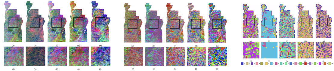
The research study showed that the spectral component plays a more crucial role than the spatial component in the detection of spectral classes in plant species richness estimations and multispectral sensors effectively assess biodiversity in the Mediterranean ecosystems.
Also, the Mediterranean open forest areas may be affected by a strong influence of background and understory vegetation in the spectral information recorded by optical remote sensing data.
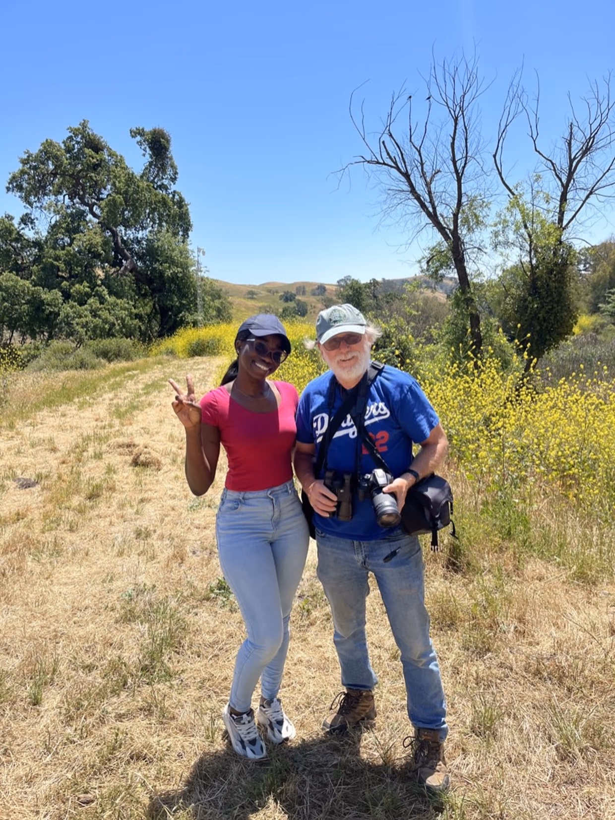
Ama during her internship at the U.S.
During your thesis, you had the opportunity to travel to the United States, right?
Yes, I wanted to research Mediterranean climates, and travelling to the Sedgwick reserve in California for my internship was an amazing opportunity to actually be in the field and have first-hand experience. My supervisor at the University of California Santa Barbara was very supportive and welcomed me there. This internship improved my understanding of my research topic and gave me a first-hand experience of how research is conducted in different parts of the world.
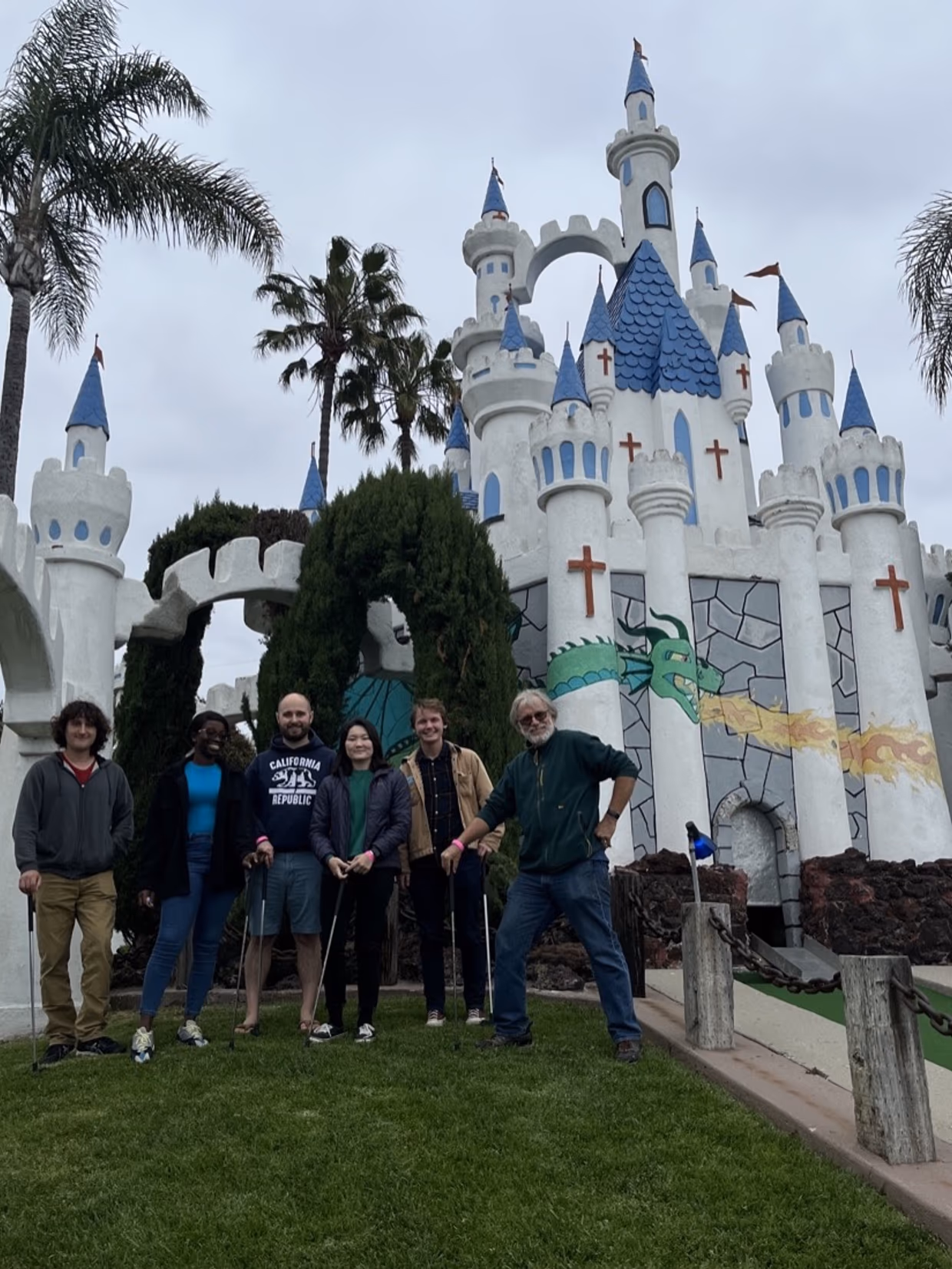
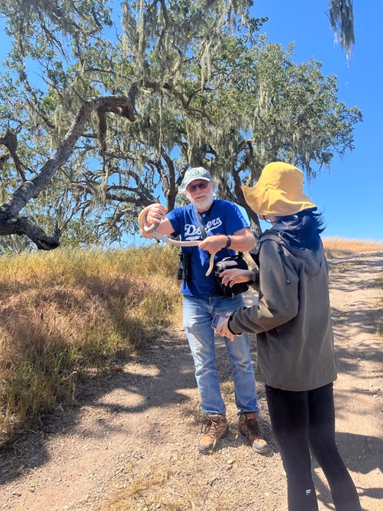
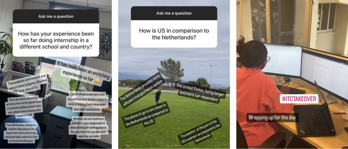 Ama participated in an ITC Instagram Takeover while at her internship
How has your career developed since your graduation?
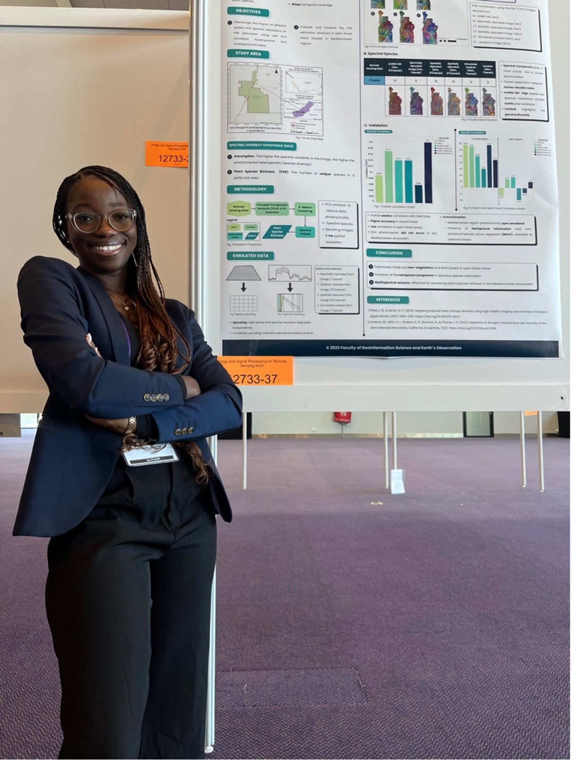
My paper was selected to be presented at the 2023 SPIE conference in Amsterdam, where I will be attending with my second thesis supervisor, Dr. Claudia Paris. During this conference, I will be presenting my findings through a poster presentation. In this paper, we are comparing the impact of spatial and spectral resolution on plant species richness in the Mediterranean ecosystems.
Several studies have successfully applied hyperspectral data in estimating biodiversity however they are costly- limiting its data acquisition in space and time. On the other hand, satellite multispectral data acquired continuously at a larger spatial extent with higher temporal coverage but their spatial and spectral resolutions are not comparable to those of hyperspectral data. Although some studies have compared various optical sensors for estimating species richness, little has been done to assess the real impact of upscaling spatial and spectral resolutions on the assessment of this biodiversity indicator. This study focused on the biodiversity estimation in the Mediterranean ecosystem where limited studies have been done compared to the dense tropical forest areas.
Biodiversity Assessment Using Satellite Imagery In San Joaquin Experimental Range, California is the topic that Ama chose for her MSc Thesis research
The work I will be presenting at the SPIE conference is similar to what I did in my MSc Thesis. I'm presenting plant species richness estimations across different remote sensing datasets, including real multispectral and hyperspectral data, and simulated data (synthetic 4m multispectral data, synthetic 16m hyperspectral data, and synthetic 30m hyperspectral data) that I have spatially and spectrally upscaled independently using the hyperspectral data. My goal is to demonstrate how these variations impact the estimation of plant species richness in Mediterranean regions.
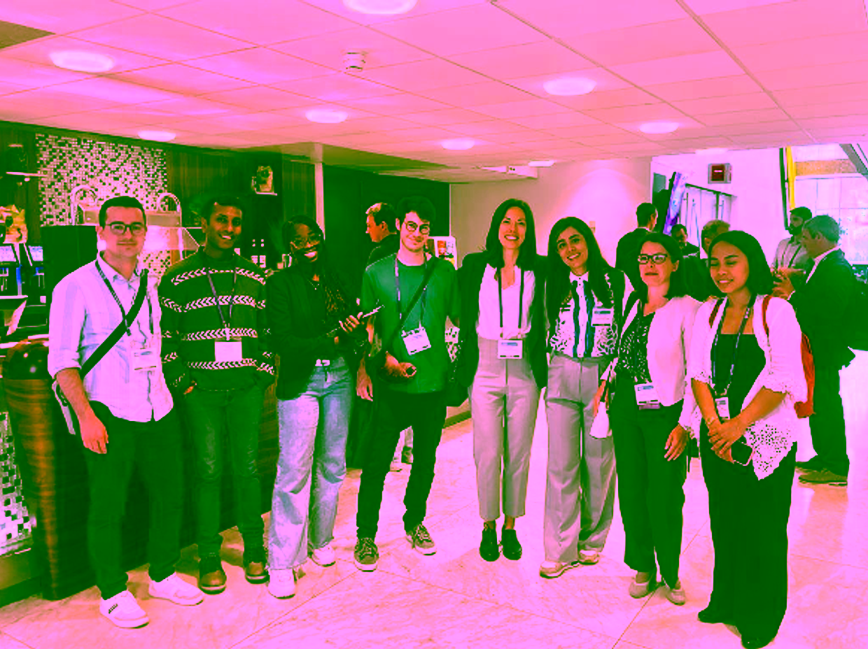
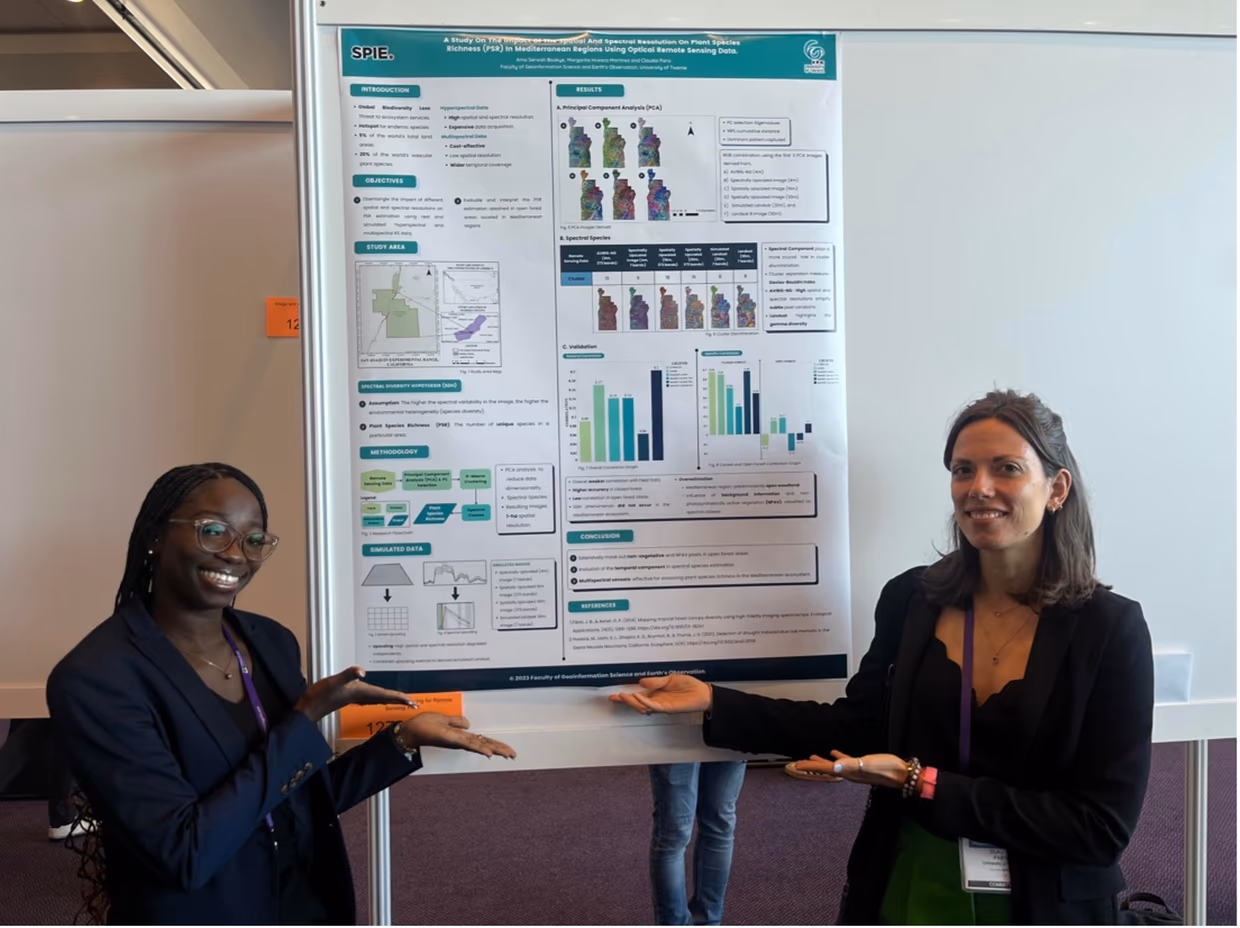
Ama Serwah attended the 2023 SPIE conference in Amsterdam to present her work at the ITC Faculty
This study provides insights into its application to satellite multispectral data and future hyperspectral data with lower spatial resolution in biodiversity estimation within Mediterranean ecosystems. It also allows conservationists to map ecological conditions in the Mediterranean ecosystem using multispectral sensors, such as Landsat and Sentinel 2, rather than hyperspectral sensors. This method can help to detect areas where environmental conditions are unfavourable or less suitable for certain species to be quickly intervened, given that Mediterranean areas are noted for drought and frequent fire outbreaks.
And now, how do you aim to continue your career?
I'm considering continuing in academia, possibly by doing a PhD. If someone interested in my topic reads this, I am open to being contacted for further research and PhD opportunities. For my PhD research, I would want to focus on similar topics as my MSc thesis research, land surface phenology and biodiversity estimations and conservational planning.
Is there anything else you would like to add to the interview?
The whole experience with the ITC Faculty was really enriching. When you study here, you are expected to carry the load of the study, but everyone is going to help you navigate and guide you if you get blocked. This process has improved my confidence as a professional.

More recent news
 Fri 10 Oct 2025ECO-MOSAIC: A new ESA-funded project to monitor biodiversity under Climate Change
 Wed 1 Oct 2025Erasmus+ funds the GEM Programme for 4 more intakes on its 21st anniversary
 Tue 22 Jul 2025In Memoriam: Dr. Abel Chemura
 Mon 30 Jun 2025GEM Joint Event 2025
 Fri 6 Jun 2025PhD candidate Novia Arinda Pradisty receives KNAW grant to research mangrove ecosystems