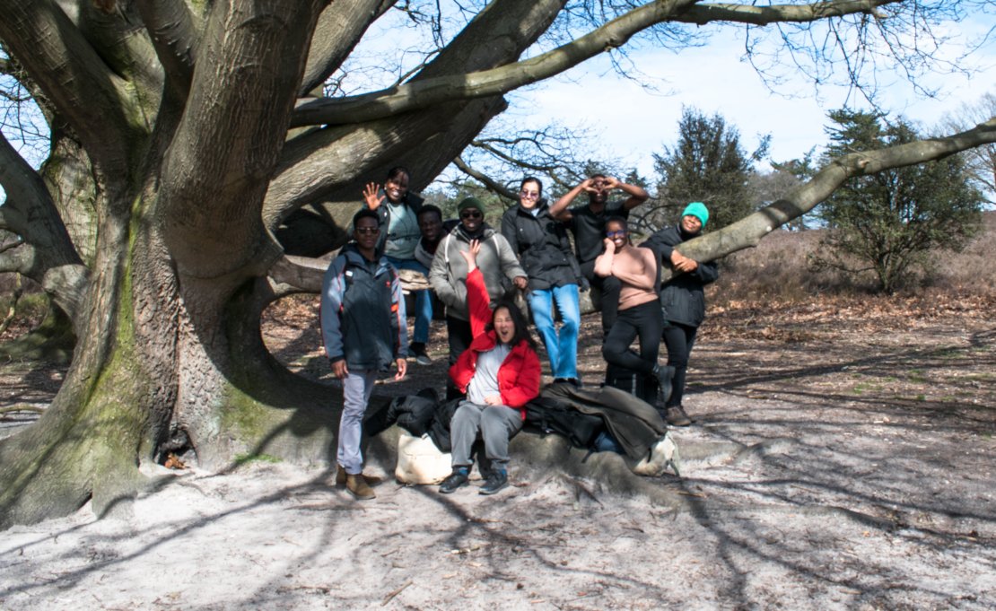
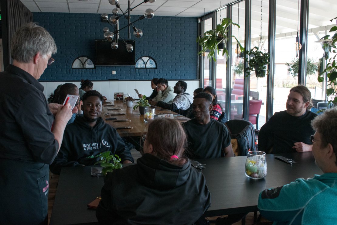
Prince Boateng, Anesu Chimbi and Charlie Shawa are three students of the Natural Resources Management track of the MSc in Geo Information Science and Earth Observation of the ITC Faculty. As part of the programme, the students were able to travel with their class to a forest location in the region of Twente, the Netherlands, and experience a true fieldwork experience.
The trip is organized by the course supervisors to provide students with a perspective of how the data they use in class is collected. “It was a very valuable experience. It was quite eye-opening to get a first-hand feel of how data is collected with the use of different instruments” said one of the students.
A unique learning experience
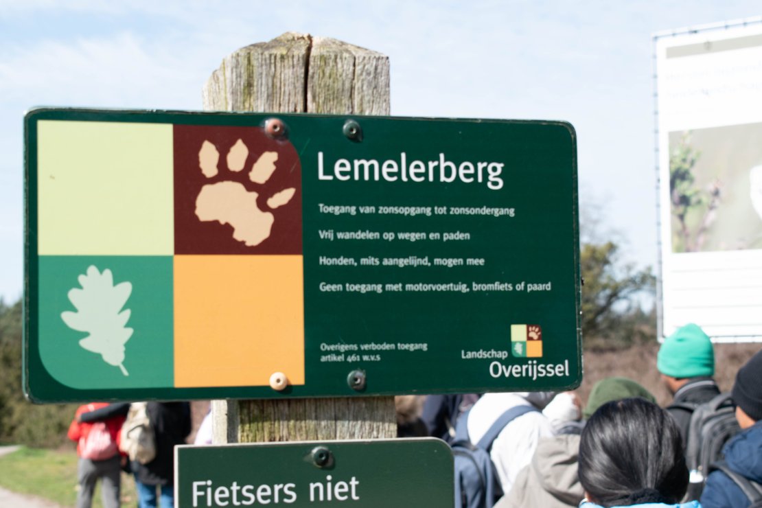
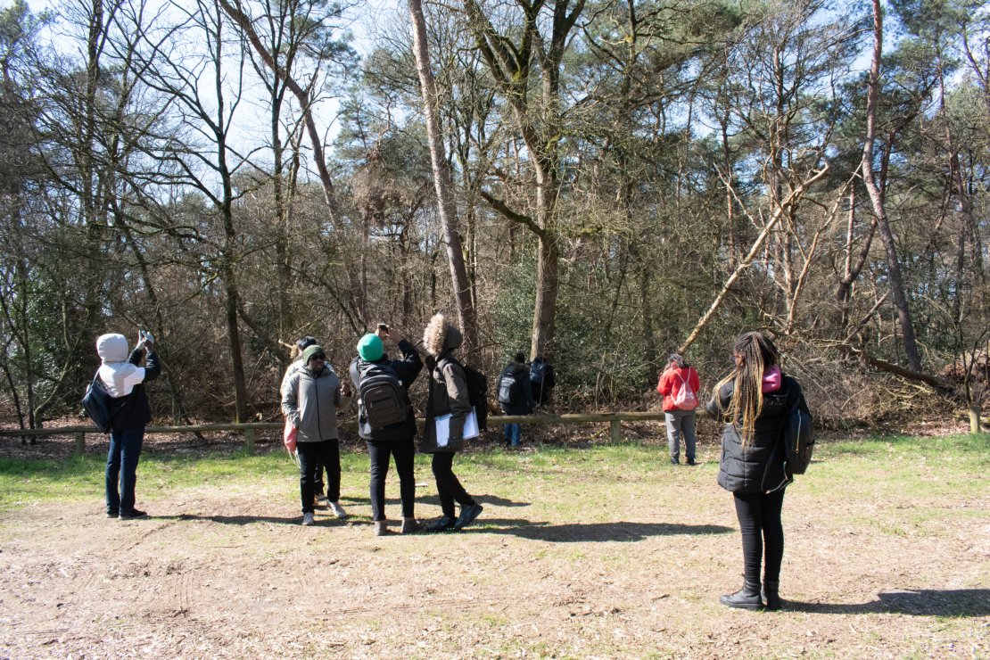
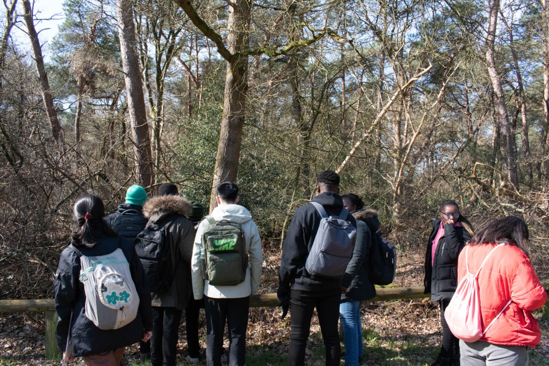
At 08:45 AM, in front of the ITC Faculty, a group of students was picked up by two buses and headed to the Lemelerberg natural reserve in the region of Salland. This area is part of the Sallandse Heuvelrug, one of the most popular national parks in the west of the Netherlands. There are some different vegetation types in the nature area, such as evergreen, deciduous and mixed forests as well as grasslands and heathlands.
|
|
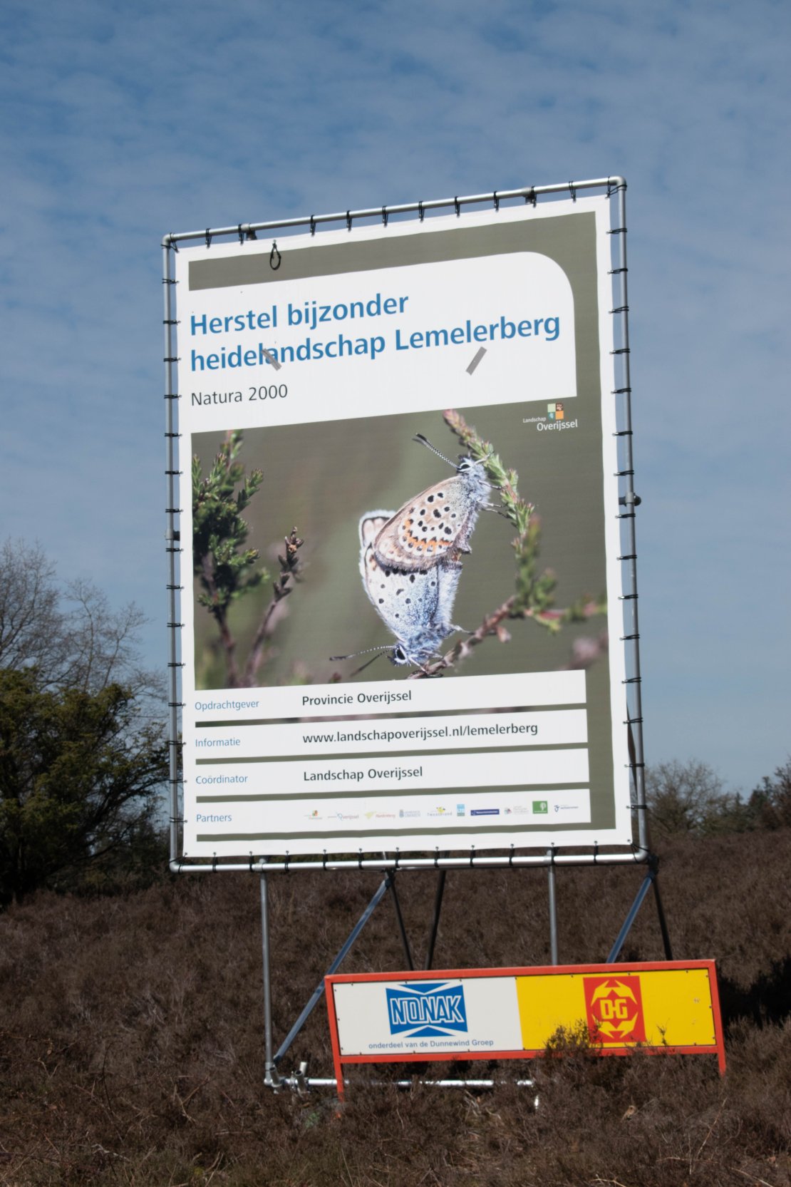
These heathlands have a high conservation value as they harbour several vulnerable and threatened species. One of the red-list species of these heathlands is Juniperus. The heathlands are severely threatened and affected by nitrogen deposition resulting from nitrogen emissions from surrounding cattle farms. Since the dataset with vegetation samples from last years did not have many observations in the Juniperus stands, there was special attention for this vegetation type. This case study was perfect for students to practice recording vegetation properties like composition, height and density.
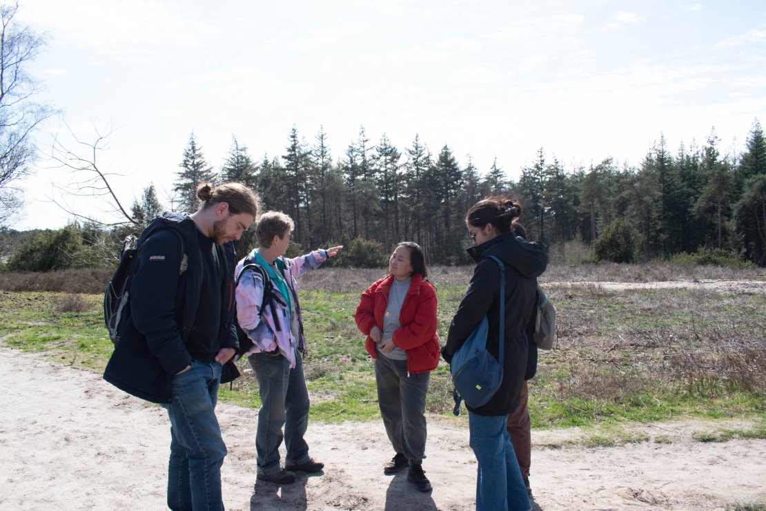
When arriving at the field, students were split into three different teams, where they were distributed the necessary equipment. Once divided, each group needed to use a GPS device to find the specific location where they were going to sample the vegetation.
Teamwork and agreements
Fieldwork activities are a good way for students to interact differently with each other than in class. The students learned how important proper planning is before going out to the field as well as compromising with colleagues on different perceptions of the same field experience. “Our cover estimations were different, but we really needed to reach an agreement on the spot to be able to classify the data and analyze it later” declared one of the students. That provides a different layer of interaction with classmates that is difficult to obtain in a day-to-day class.
Coming to an agreement was an important soft skill to practice on this trip, but first, students needed to make a realistic estimate of the cover percentage of the vegetation in the field. In the first attempt at estimating the forest cover, the judgements from the students ranged from 10% to 60%. By comparing their initial judgement with an estimate from an experienced ecologist they got a better reference and more feeling for realistic estimates.
Realizing that their first estimates were not so good, they also became aware that the quality of the dataset that they looked at before is probably also not of very high quality. This dataset was collected by previous students who were also not yet experts who just practiced the sampling. This was also part of the learning experience; by the end of this fieldwork, students reported to relate to scientists and develop a further understanding of data collection. “We often look at secondary data a bit abstractly but now we realize that the maps and tables that we use in class come from someone who collected the data” a student explained.
Prepared for real research
Their excursion had a main goal; to collect data for training and validation. After the fieldwork, students created vegetation-type maps of the field they visited. This mapping exercise was a first experience for some students who probably will follow a similar approach in their data collection for their MSc thesis “I have been mapping for around three years, but I think this experience has opened my mind scope as to how I collect data” confessed one of the students.
In the field, they had to make different types of judgements and measurements of the environmental context; from the landscape, the soil type, the vegetation, land use and human factor... for that reason, NRM teachers consider self-collecting the data as one of the best ways to get a deeper understanding of the data set. One of the students confirmed this; “It was a positive experience that we could use in the future, and it provided us with preparedness for different situations”.
|
|
Every academic year, a new batch of students experiences the fieldwork outings and the several activities that are part of the NRM specialization of the MSc in Geo Information Science and Earth Observation of the ITC Faculty – University of Twente. Click here to learn more about the MSc programme.
More recent news
 Fri 10 Oct 2025ECO-MOSAIC: A new ESA-funded project to monitor biodiversity under Climate Change
 Wed 1 Oct 2025Erasmus+ funds the GEM Programme for 4 more intakes on its 21st anniversary
 Tue 22 Jul 2025In Memoriam: Dr. Abel Chemura
 Mon 30 Jun 2025GEM Joint Event 2025
 Fri 6 Jun 2025PhD candidate Novia Arinda Pradisty receives KNAW grant to research mangrove ecosystems