| Student: | Amina Abdelkadir Mohammedshum |
|---|---|
| Timeline: | October 2018 - 1 October 2022 |
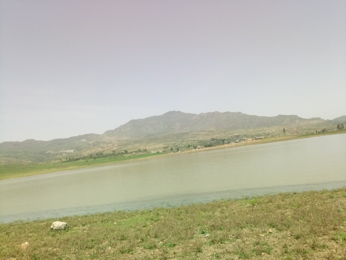
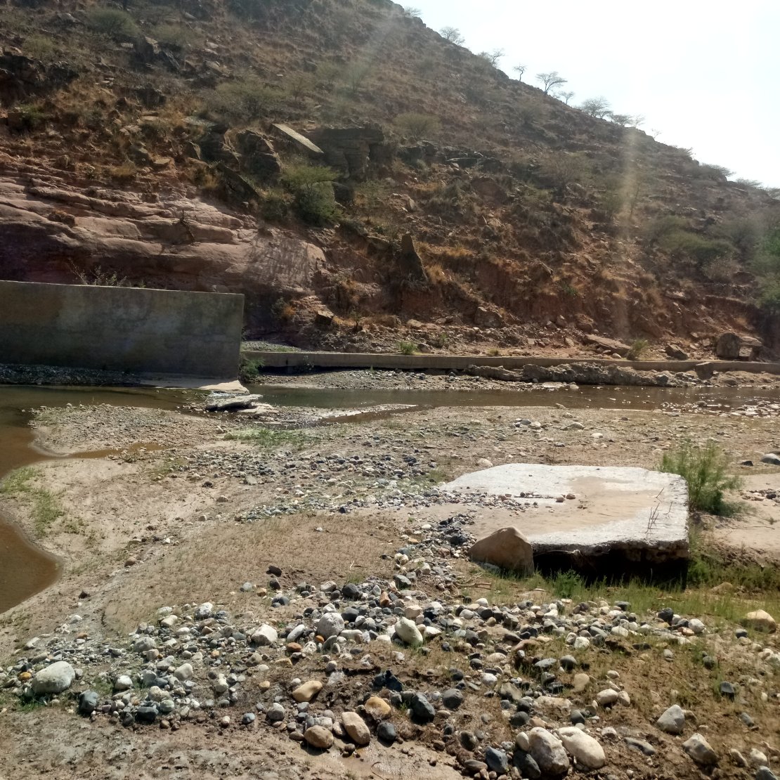
Irrigation development is an important means for achieving food security in many arid and semi-arid countries, including Ethiopia. Rainfed agriculture is the main production system at Zamra catchment, Tigray Region, northern Ethiopia.
However, due to moisture stress, production is limited to rainy season and the production and productivity through this system is very low. In order to tackle this challenge, the regional government has introduced several irrigation schemes. The irrigation schemes have improved to some extent the livelihood of the local communities and have thus contributed to economic development of the region. However, there is a challenge for efficient and sustainable use of water for irrigation. This research is trying to evaluate the characteristics of existing irrigation systems and provide a better information system to assist planning and operation of the schemes in Northern Ethiopia. Characterization of small-scale irrigation schemes will be based on socio-economic, technical, and institutional aspects. Assessment of irrigation schemes will be made using high resolution images and WaPOR data sets using indices in order to facilitate feature extraction for mapping. WaPOR data sets will be utilized to extract crop productivity in order to assess the performance of irrigation schemes. Furthermore, evaluation of irrigation scheme performances will be made using Triple sensor approach based on in-situ measurement, remote sensing, and a SWAT+ and Aqua Crop-based model. Finally, a spatial monitoring and information system will be developed for assisting planning and management of small-scale irrigation schemes at three spatial scales: on level I at 250 m, level II 100m and level III 30 m spatial resolution.
Keywords: Aqua Crop, Ethiopia, Irrigation efficiency, Spatial information system, Triple sensor, WaPOR, Water productivity
Meet the team