Almost two years after graduating with a cum laude from an MSc at the ITC Faculty, Zijing Wu published as the first author of a study demonstrating the capability of satellite remote sensing and AI techniques (more specifically, machine learning) to automatically count very large populations of mammals across a highly heterogeneous landscape.
The paper, titled “Deep learning enables satellite-based monitoring of large populations of terrestrial mammals across heterogeneous landscape” was written with her MSc supervisor, associate professor Tiejun Wang, and experts from institutions such as Smithsonian Conservation Biology Institute, Princeton University, University of California, The National Academies of Sciences and U.S. Army Research Laboratory, Lancaster University, University of Kent, University of Glasgow, and the University of Southampton, among others. This article was published in the scientific journal Nature Communications, one of the highest-regarded journals on the topic.
In this Made in NRS interview, Zijing shares with us her academic journey in the field of geo-information science and her plans for the future.
Hi Zijing, it is great to have you here to discuss your career and how it led to the publication of your recent paper. What bachelor's degree did you study?
I studied for a bachelor's in Computer Science and later switched to an Environmental Science major, but it was focused mostly on chemistry. Through my Bachelor thesis on using satellite images to identify changes in coastal wetlands, I was fascinated by the bird's eye perspective in remote sensing and the rich information waiting to be discovered.
That’s when I decided I wanted to study an MSc at the ITC Faculty, one of the top-rated institutions for GIS and remote sensing. I enrolled for the MSc in Geo-Information Science and Earth Observation. And this is where I finally found my sweet spot: applying GIS and RS in combination with artificial intelligence to tackle biodiversity conservation challenges.
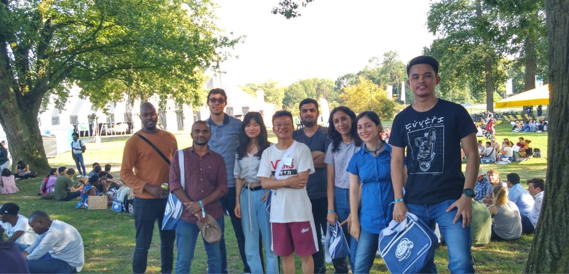
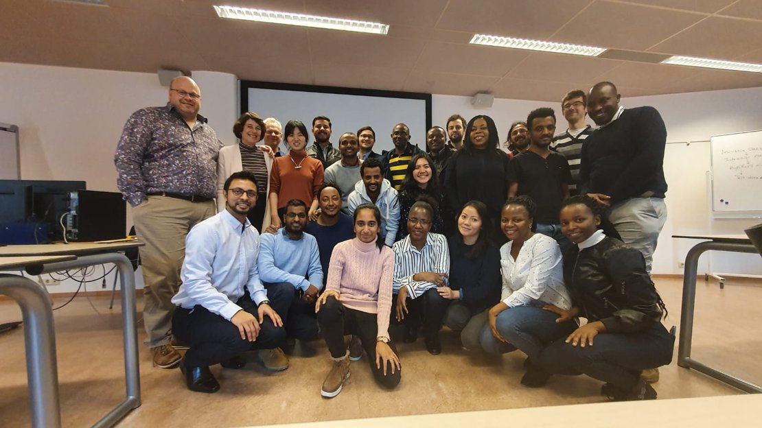
The 2019 Kick-In took place when Zijing arrived at the ITC Faculty (University of Twente)
How did you became in contact with Tiejun, and why did you choose this topic for your Thesis?
The COVID-19 pandemic hit the same year I arrived at the ITC Faculty, so the MSc programme had to be conducted online in the beginning. However, the ITC Faculty came up with an initiative to assign mentors to students, so they would stay connected during these times.
My mentor was Dr Tiejun Wang. As the MSc programme advanced and I had to decide on a topic for my MSc Thesis, Tiejun proposed to me the project that would later become my thesis; counting and monitoring wildebeests using deep learning and satellite imagery. Tiejun has been a great mentor, not only in research but also providing life guidance.
What did you learn during your Thesis?
I think the topics I learned the most were about wildlife and deep learning, as they were new to me. Normally students start their MSc thesis in September, but I started a few months earlier. I also did a short course about deep learning and read many related articles to learn the research progress on the topic. This helped me acquire a strong foundation and prepare for the work ahead.
I see that your thesis and the paper you recently published are on the same topic: monitoring wildebeests with AI. How was the process of going from your MSc thesis to publishing in a journal such as Nature Communications?
Dr Tiejun Wang had been researching monitoring wildebeests with machine learning algorithms, and he had the idea to continue developing on this topic for almost a decade. That is why, for my thesis, he presented me with the topic. I worked on it and as a result, I developed an algorithm to count wildebeests in a small area.
Tiejun saw the thesis as a promising opportunity for research on a larger scale. Using the thesis as a foundation, he contacted experts from the U.K., U.S. and Kenya, who were eager to participate in the research. With our collaborators’ resources and expertise, we were able to publish the paper “Deep learning enables satellite-based monitoring of large populations of terrestrial mammals across heterogeneous landscape” in the journal Nature Communications. I have to say, it was my first time connecting with other scientists across the world, and I am quite happy with the result.
What was your experience studying the MSc program?
Socially, I had a good experience because I lived at the ITC Hotel with my classmates and during class days we always studied together at Globe Room after dinner and hung out in Shermerhorn Lounge. Academically, compared to my perception of other universities, the ITC Faculty provides a very solid scientific foundation to students.
What was your favourite course and why? Was it related to your thesis topic?
Introductory courses such as “Geo-Information Science and Modelling” were very helpful for me, because I didn’t have a GIS background like other classmates. However, one of my favourite courses was called “Advanced Image Analysis”, and we learned deep learning and machine learning in quite a technical depth. It was the perfect course for students like me, who wanted to learn these techniques for different applications during their thesis.
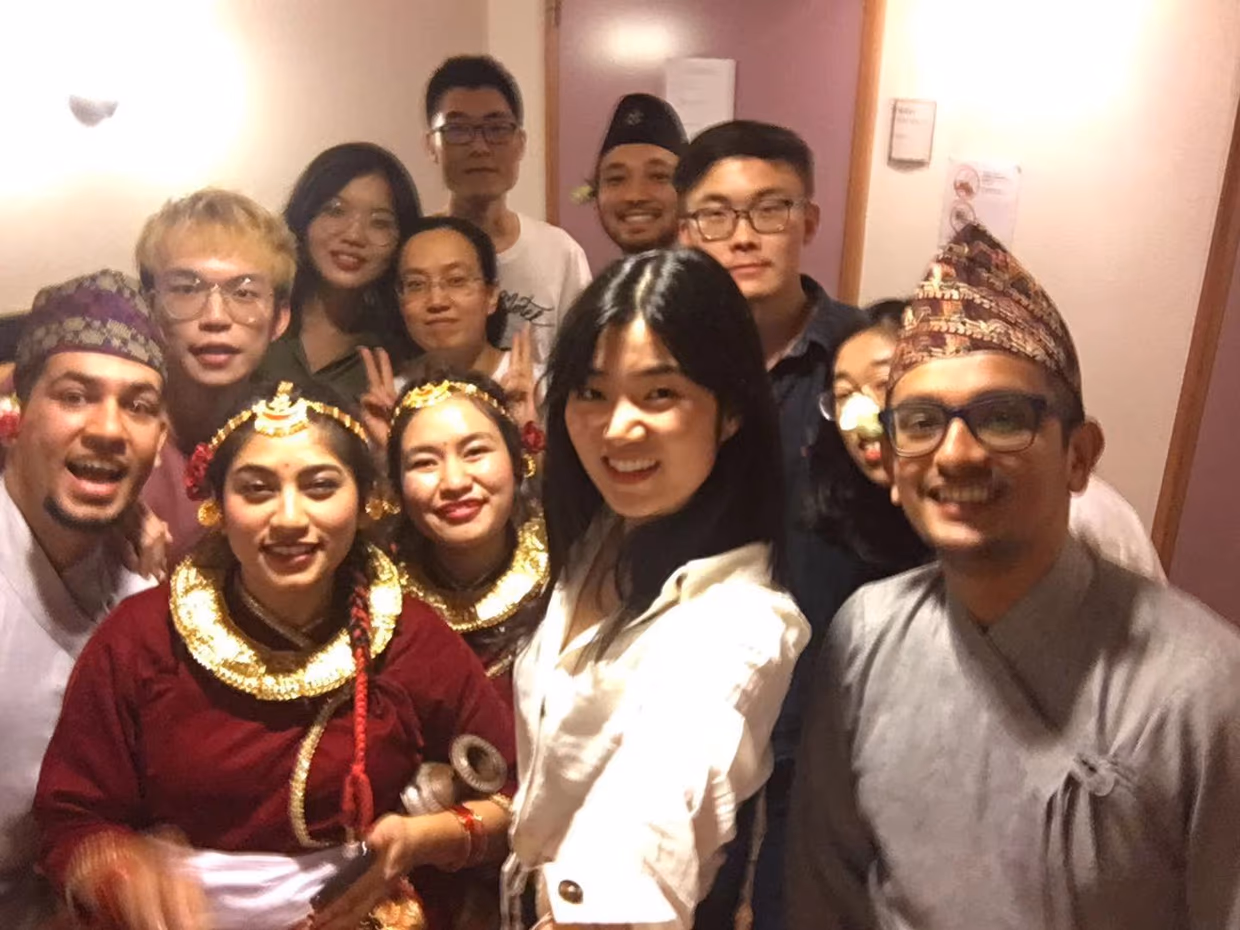
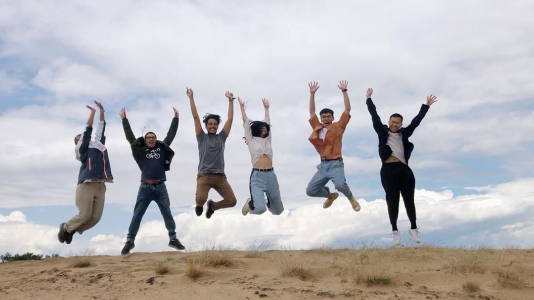
Zijing Wu and her NRM classmates and teachers
You are currently researching in Copenhague and will probably do a PhD at Hong Kong University right? Is this aligned with the same topic as your Thesis?
After finishing my MSc thesis, and while writing the paper with Tiejun, I worked for a year in a company, developing nature-based projects. Currently, I am working as a research assistant at the University of Copenhagen. My next step is starting a PhD at Hong Kong University where I will continue researching the applications of artificial intelligence in biodiversity monitoring.
How do you foresee the future of AI applied to satellite imagery?
Scientists all around the world are starting to use artificial intelligence to map and monitor all different kinds of things using satellite imagery. In our recently published paper, we focused on wildebeests, but here at the University of Copenhagen, I am working on monitoring forests at the individual level. Researchers in other fields are probably more interested in landslides, slums, or even permafrost. The applications will continue to expand, due to the increase in satellite data availability and improvement in AI techniques.
Ideally, in the future, algorithms will become more powerful, and the information we extract from our datasets will be used not only to monitor but also to make predictions about what is going to happen. Additionally, if spatial resolution gets higher, we might be able to map smaller objects. Researchers are even developing techniques to uncover information from low-resolution historical data. There are many possibilities for the future of artificial intelligence applied to satellite imagery.
Is there anything else you would like to add to this interview?
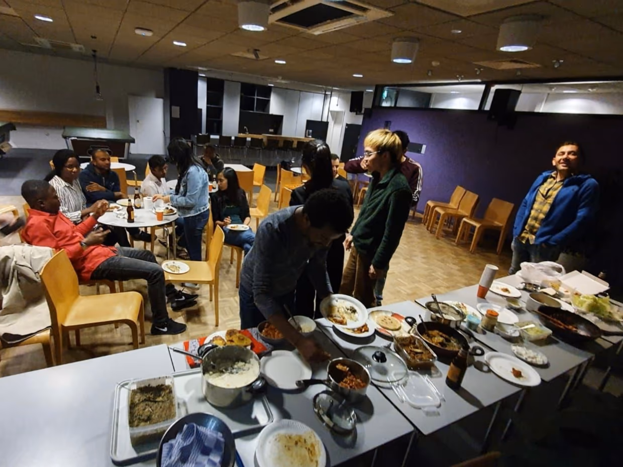
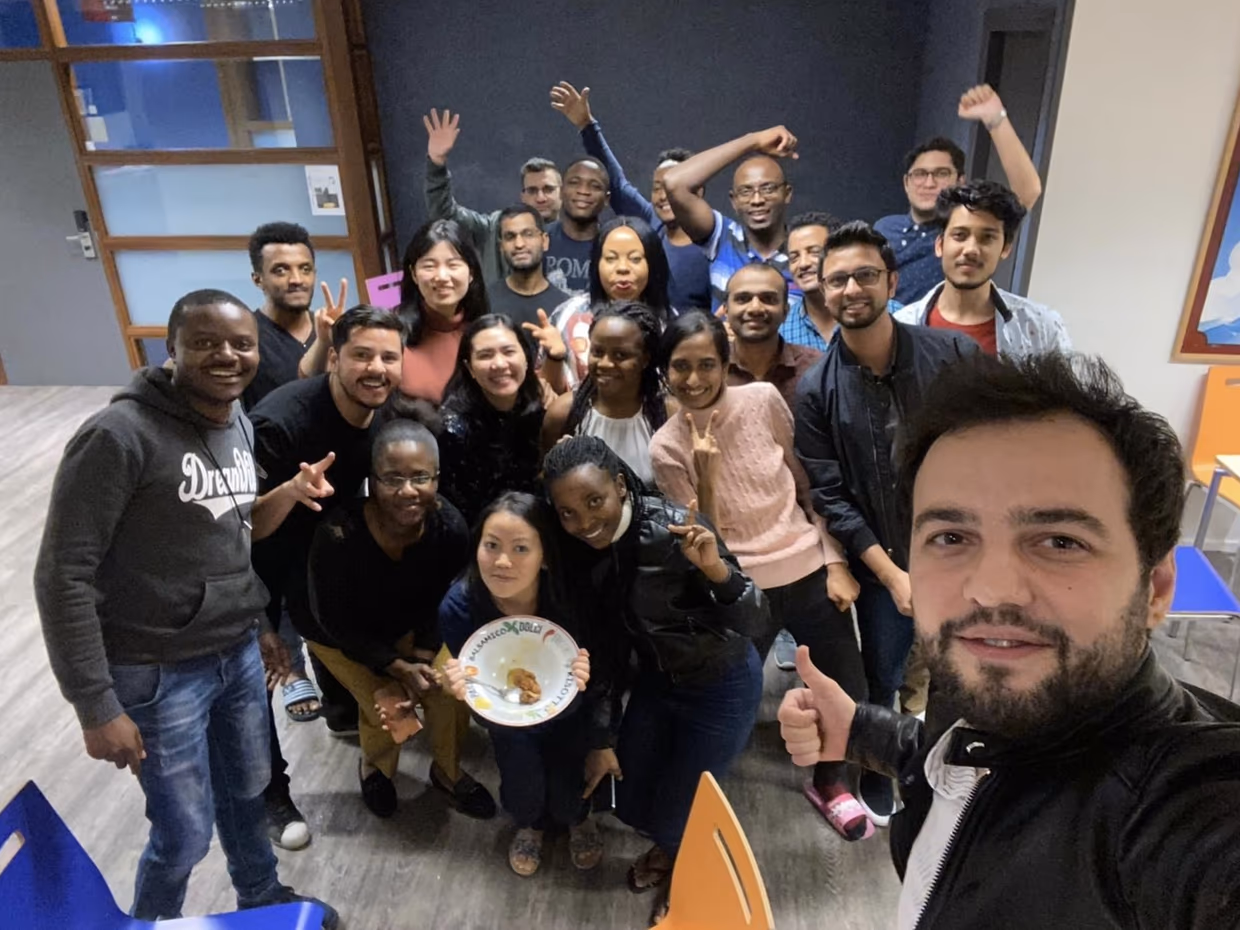
My two years spent at ITC were unforgettable and it is an especially important milestone in my life path. It was my first time to come abroad and my first time to make international friends. Our colleagues come from Asia, Africa, South America and so on with all diverse cultural backgrounds. Among them some already have kids, and some have already worked for more than ten years. They showed me there are so many ways of living, and there is never an end to learning. ITC creates a very warm and inclusive environment. It also opened a new career path for me and empowered me to explore infinite possibilities.
More recent news
 Fri 10 Oct 2025ECO-MOSAIC: A new ESA-funded project to monitor biodiversity under Climate Change
 Wed 1 Oct 2025Erasmus+ funds the GEM Programme for 4 more intakes on its 21st anniversary
 Tue 22 Jul 2025In Memoriam: Dr. Abel Chemura
 Mon 30 Jun 2025GEM Joint Event 2025
 Fri 6 Jun 2025PhD candidate Novia Arinda Pradisty receives KNAW grant to research mangrove ecosystems