Overview specialisations

Become a high-skilled geospatial professional

WHICH OF THE SEVEN SPECIALISATIONS SUITS YOU BEST?

At the start of your Master’s in Geo-Information Science and Earth Observation, you need to choose a specialisation. In this way, you personalise your programme, so you can develop a distinct expertise. You can choose from seven unique specialisations - and a free specialisation that you can tailor to your interests - that will put you at the forefront of geo-information and spatial data science. Your choice determines which courses you will take and the type of research you will do as part of your master’s thesis. In the first quartile you can still switch between specialisations if you feel like another one suits you better.

Applied Remote Sensing for Earth Sciences

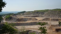
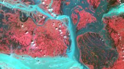
If you have passion for Earth sciences and want to learn to use remote sensing and geographic information systems (GIS) to map supplies of critical raw materials and geothermal resources, this specialisation might be just for you.

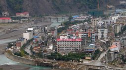
Natural Hazards and Disaster Risk Reduction

Learn to identify why, where, and when natural hazards occur. In this specialisation, you will use geo-information to predict, monitor, and quantify hazards and their magnitude in a specific geographic area and time and to design geospatial risk reduction approaches.

Geoinformatics

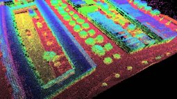
It is a matter of how to capture, classify, analyse, process, and visualise geospatial information before you are able to apply it to tackle various local and global challenges. Learn to develop algorithms, models, and tools to process massive geospatial data into actionable insights for a variety of application domains.

Geo-information for Land Management

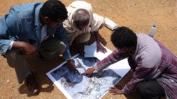
Geo-information management for land administration is essential for developing, updating, and providing cadastral maps, land registries, and other types of land records. In this specialisation, you will learn how to help people secure their land tenure and support sustainable urban planning through the creation of digital cadastral maps and responsible land administration.

Natural Resources Management

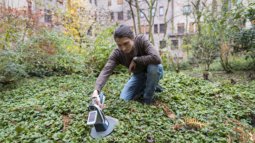
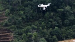
If you want to specialise in sustainable management of natural resources such as land, water, soil, forestry, and biodiversity by applying GIS and the latest remote sensing technologies, this specialisation might be just for you.

Urban Planning and Management

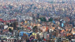
Learn how to transform cities into healthier, more sustainable, inclusive, and attractive places where people and nature can thrive. You will work on strategies to improve urban challenges related to transport, infrastructures, land use, social and economic inclusion, climate change, and disaster risk using geo-information.

Water Resources and Environmental Management

Do you want to specialise in the use of satellite images to analyse water quality and quantity? In this specialisation, you will work on various real-life cases such as estimating if a particular area will be flooded under specific rainfall conditions and what kind of measures can be taken to prevent this.