We use drones and autonomous robots for geoscience applications, research and capacity-building projects.
Request for flights can be sent to this email gsl-itc@utwente.nl.
Sensors
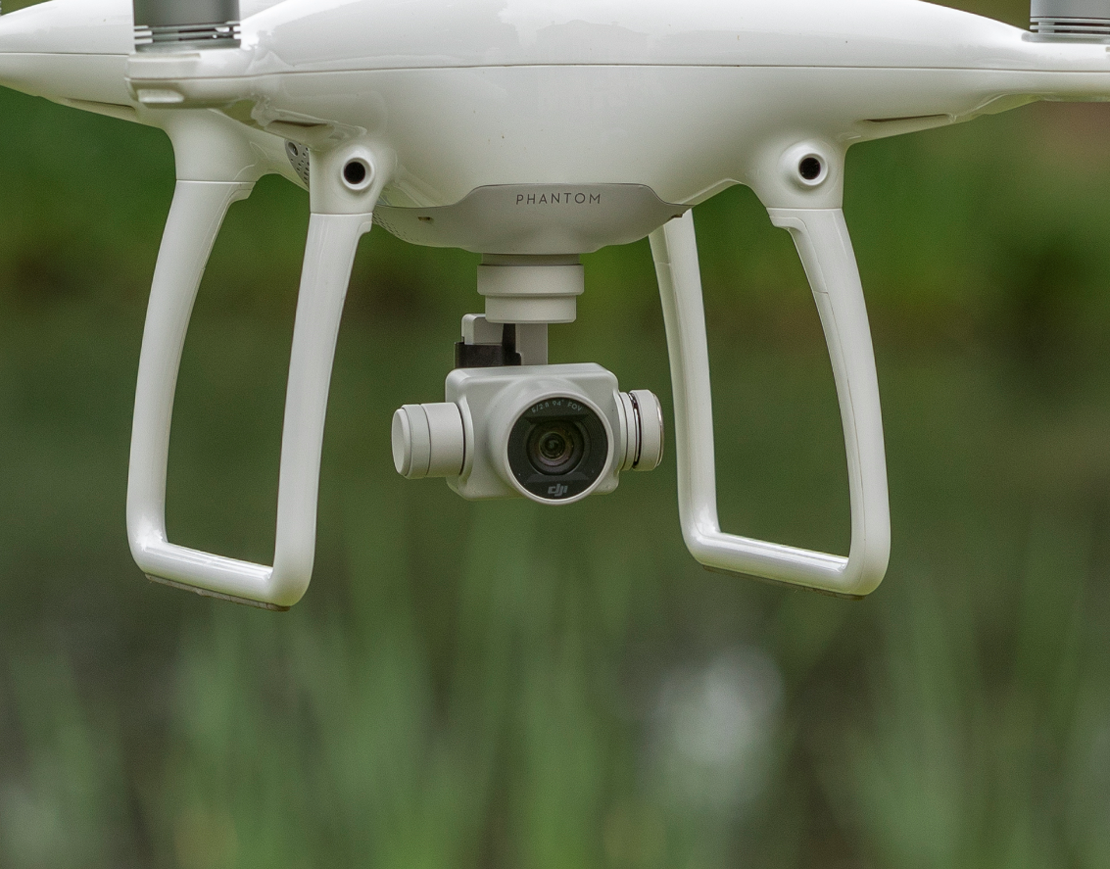
- RGB - Phantom 4 Camera
Sensor
1/2.3” CMOS
Effective pixels:12.4 M
Lens
FOV 94° 20 mm (35 mm format equivalent) f/2.8 focus at ∞
ISO Range
100-2100 (video)
100-1600 (photo)
Electronic Shutter Speed
8 - 1/8000s
Image Size
4000×3000 pixels
Photo Formats
JPEG, DNG (RAW)
Video Formats
MP4, MOV (MPEG-4 AVC/H.264)
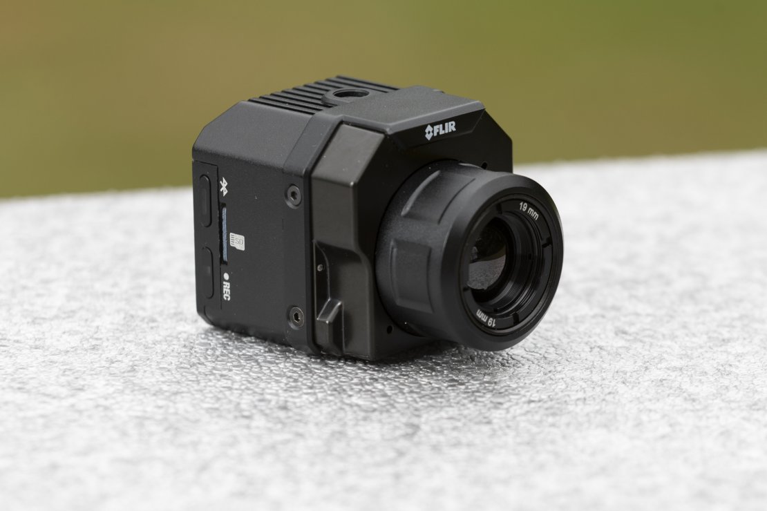
- Infrared - FLIR Vue Pro
Pixel Pitch
17 μm
Lens
FOV 32° X 26° 19mm
Spectral Range
7.5 - 13.5 μm
Radiometric Temperature Range
32 to 104°F / 0 to 40°C
Image Size
640x512 pixels
Photo Formats
8-Bit: JPEG, R-JPEG, TIFF
14-Bit: TIFF
Video Formats
8-Bit: MJPEG, H.264
14-Bit: TIFF-Seq
Refrash Rate
7.5Hz
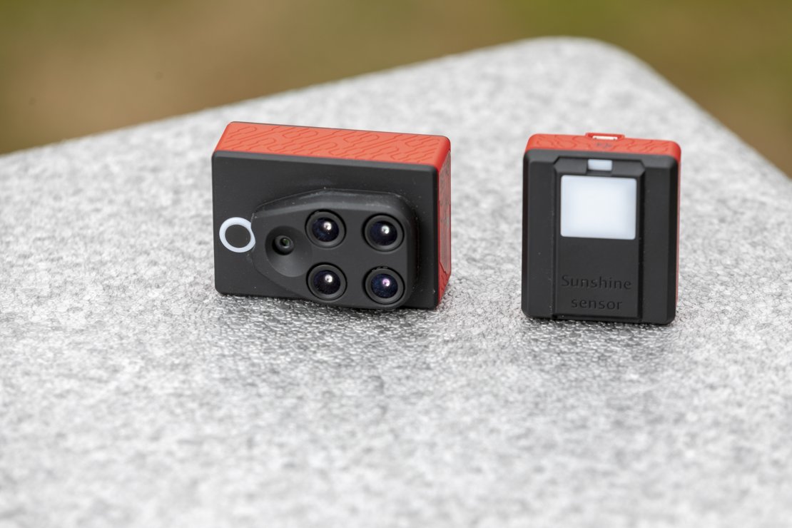
- Multispectral - Parrot Sequoia
Sensors
16 Megapixel RGB
Four 1.2 Megapixel monochrome sensors
Bands
(wavelength/bandwidth)
Green (550nm/40nm)
Red (660nm/40nm)
Red-edge (735nm/10nm)
Near infrared (790nm/40nm)
Sunshine sensor
4 ambient light sensors with band-pass filters identical to those on the multispectral sensor
Other multispectral sensor features
IMU, 64GB memory, Magnetometer, Wi-Fi interface
Other sunshine sensor features
GPS/GNSS, IMU, SD card slot
- Airborn Laser Scanner - RIEGL miniVUX-2UAV
RIEGL miniVUX-2UAV
To be mounted on the DJI Matrice 600 Pro.
Laser Pulse Repetition Rate
100KHz or 200KHz
FOV
up to 360°
Scan Speed
10-100 per second
Minimum Range
3m
Max Range during flight
from 85-160m
Max targets per pulse
5
Accuracy
15mm
Precision
10mm
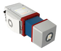
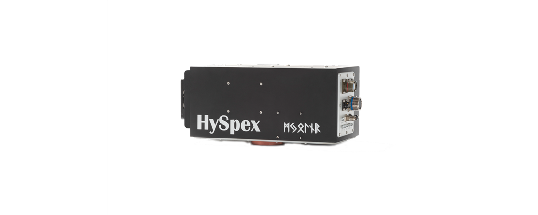
- Hyspex
HySpex Mjolnir VS-620
This instrument combines two cameras in one housing to provide a larger spectral range.
Spectral Range
400-1000nm (V-1240) 970-2400nm (S-620)
Combined Spectral Range
400-2400nm
V-1240 Spectral Channels and Sampling
200 bands @ 3.0nm
S-620 Spectral Channels and Sampling
300 bands @ 5.1nm
Combined Spectral Channels
490
FOV
20°
Unmanned Aerial Vehicles (UAVs)
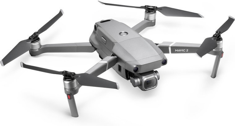
- Mavic 2 Pro
Lightweight UAV for mapping.
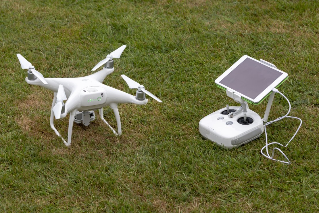
- Phantom 4
Lightweight UAV for photogrammetry.
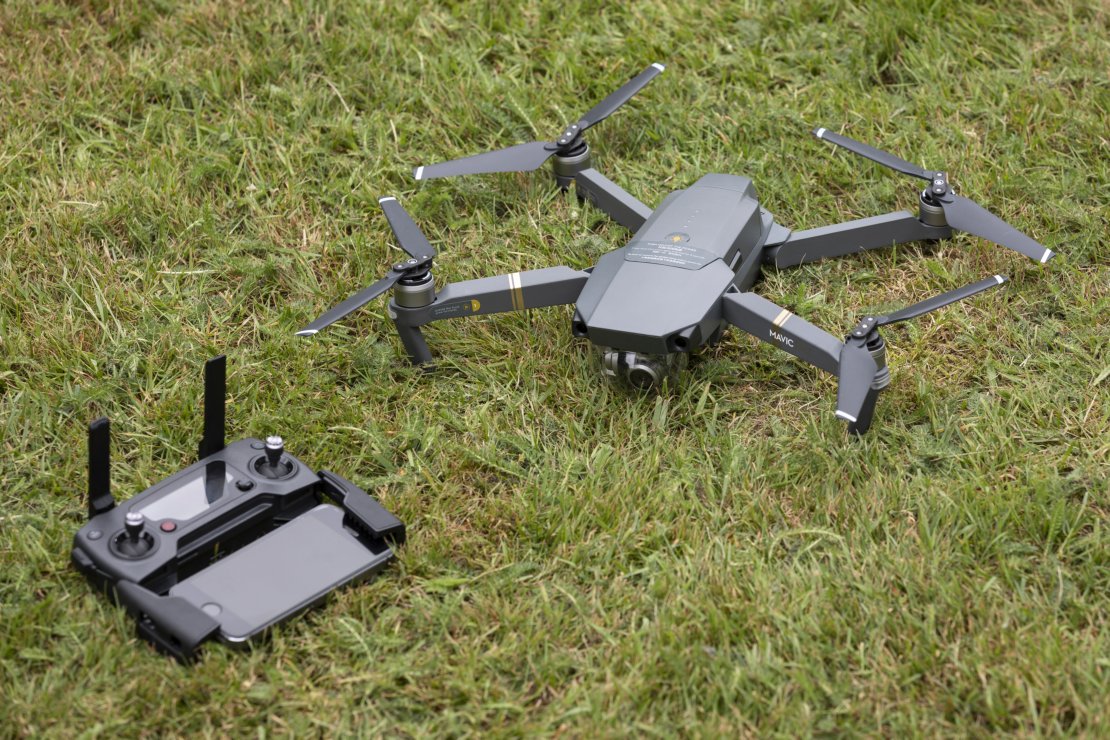
- Mavic Pro
Lightweight UAV for photorammetry
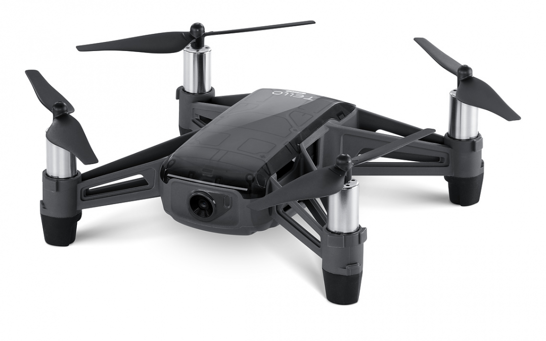
- Tello Edu
Programmable microdrone for indoor use
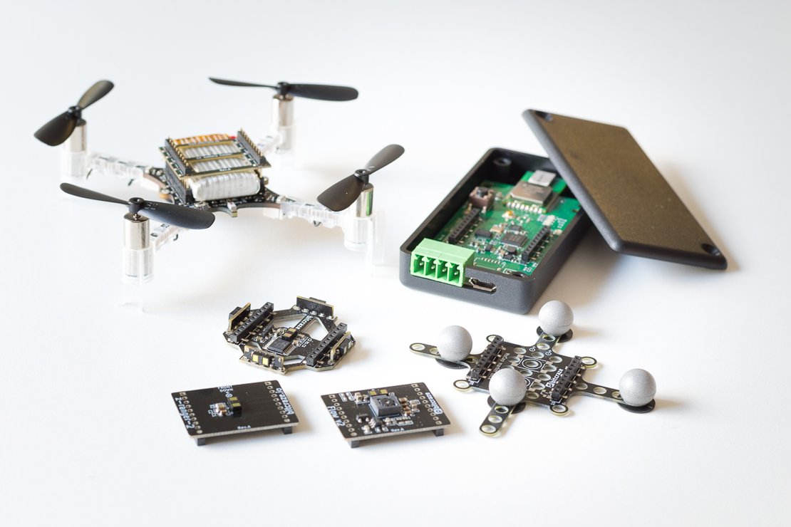
- Crazyflie 2.1
Open-source programmable nano-drone for experimental use.
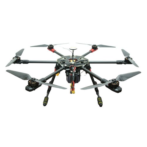
- ITC Tarot
Mid-size drone with customizable payload (~1kg).
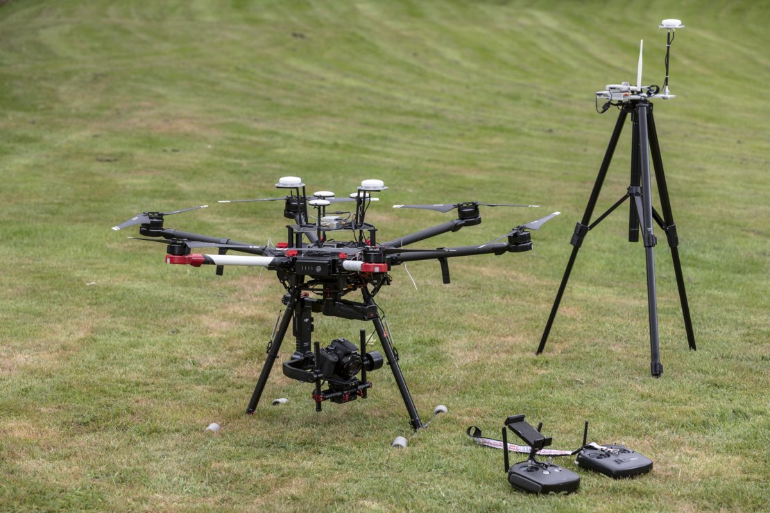
- Matrice 600 Pro
Heavy-duty UAV for any payload up to 6kg.
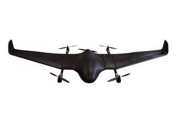
- DeltaQuad Pro Map
Vertical take-off/landing UAV with 2.4m wingspan. Higher speed and longer range than multicopters. Customizable payload up to 1kg.