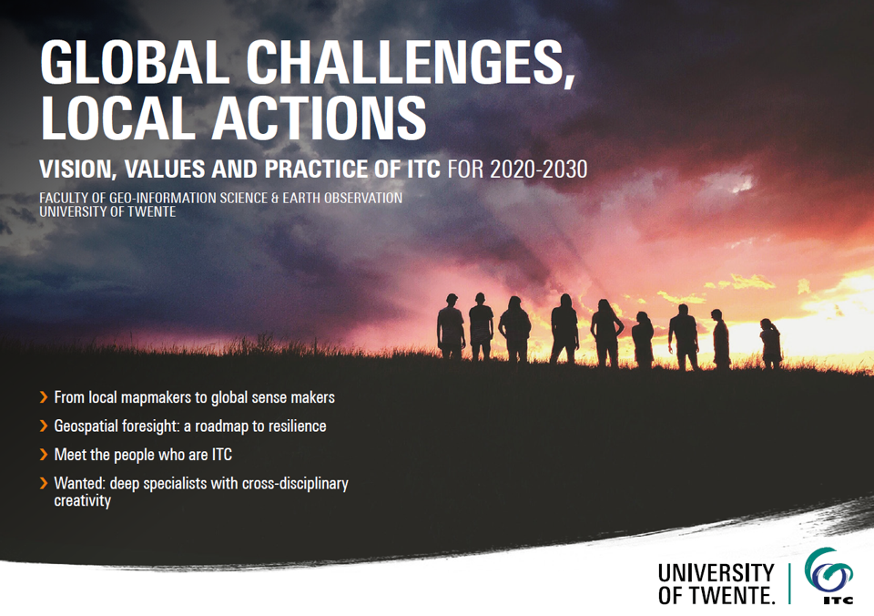
global challenges, local actions
Charting today's global challenges with the use of geo-information and earth observation science.
Mission and vision
Our mission is capacity development, where we apply, share and facilitate the effective use of geo-information and earth observation knowledge and tools for tackling wicked global problems. We aim to enable our many partners worldwide to track and trace the impact – and the shifting causes and frontiers – of today’s global challenges. We are here to identify and understand vulnerability and use geospatial solutions to convert it into resilience, thereby contributing to the establishment of sustainable living environments anchored in an inclusive society.
Our vision is of a world in which researchers, educators, and students collaborate across disciplinary and geographic divides with governmental and non-governmental organisations, institutes, businesses, and local populations to surmount today’s complex global challenges and contribute to sustainable, fair, and digital societies.
Capacity development
For ITC, capacity development implies building capacity in domain-specific knowledge, skills, and attitude at the individual and institutional/societal levels. ITC, therefore, aims to achieve both individual and collaborative capacity building. This development reflects what happens in modern societies with a strong private sector. Individual capacity development aims will be addressed through education.
Research
ITC is an internationally recognized leading research entity in geospatial sciences, with an emphasis on geo-information science and earth observation. We focus on fundamental and problem-solving research, with an eye to those complex global challenges where spatial information can make a real difference.
Education
We equip our students to tackle one of humanity's greatest challenges: balancing the development of natural resources with the preservation of our earth by providing geo-information and geo-information management tools. Our students will learn to take a multidisciplinary approach to problem-solving, benefiting from the University of Twente’s pioneering position in an exciting new field of research: the interaction between new technologies and society. Master’s students at ITC, will be encouraged and trained to break through existing academic boundaries. Study with us and become a savvy, internationally confident professional, capable of developing new knowledge and translating it into practical solutions for real-world problems.
ITC’s combination of geo-information science and remote sensing in postgraduate education offered in different domains is unique in the world.