uav Training at bahir dar university
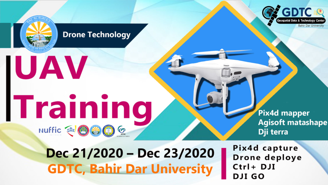
The University of Bahir Dar (BDU) delivered a 3-day UAV training during December 21-23, 2020. The training was held at BDU in collaboration with the Geospatial Data & Technology Center of BDU. The training was delivered by drone experts from the Information Network Security Agency (INSA).
The training had both theoretical and practical sessions and addressed both the operation (using Pix4D capture, Drone Deploy & DJI Terra) and aerial photo processing techniques (using Pix4D & Agisoft). For this training, both Mavic Pro & Phantom 4 Pro drones were used. The training was delivered to nineteen staff members of BDU, who all have background knowledge in Geospatial technology. For further information, please have a look at the universities Facebook page.
More recent news
- Mon 10 Feb 2025UAV PHOTOGRAMMETRY CURRENT ONLINE EDUCATIONAL LANDSCAPE
- Mon 9 Sep 2024A Call for UAV Photogrammetry: Applications & Educational Gaps Survey
 Thu 7 Mar 2024Geospatial UAV Centre Webinar series
 Thu 18 Jan 2024Resilience Reflections #22: Sky Guardians
 Thu 7 Dec 2023NeRF and AI for 3D Modeling