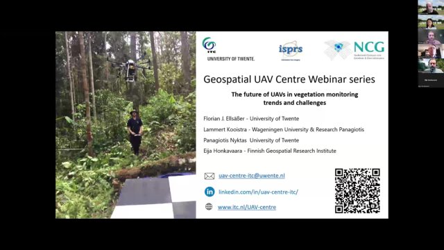
On March 6th (15:00-17:00 CET), the UAV Centre organised a webinar on “The future of UAVs in vegetation monitoring: trends and challenges.”
Four excellent speakers presented their views and insights on the topic.
The recorded webinar can be viewed here
Presentation titles and speaker introductions
UAVs in Precision Agriculture: Current Landscape and Future Perspectives
Florian Ellsäßer is assistant professor at the Department of Natural Resources at ITC. His primary focus lies in utilizing data, including UAV and field sensor data, for precision agriculture. In his ongoing research, he employs high-resolution UAV data across various spectral bands to explore how meteorological extreme weather events, such as droughts, induce detrimental impacts on crops and agricultural systems. The overarching goal of his research is to furnish tools for climate-smart management in precision agriculture.
Drone-based multi-modal remote sensing to support sustainable plant production
Lammert Kooistra is currently personal professor at the Laboratory of Geo-information Science and Remote Sensing of Wageningen University. With his research team, he aims to investigate integrated sensing approaches to develop and understand sustainable plant production systems. Next to research, he enjoys teaching at BSc, MSc and PhD level for a broad variety of study programs.
UAV systems for vegetation mapping and monitoring in conservation.
Panagiotis Nyktas is an assistant professor at the Department of Natural Resources at ITC. He is a landscape ecologist motivated to link scientific research with nature conservation and management of Protected Areas. His current research involves applications of UAV systems for biodiversity applications such as the assessment of vegetation health, forest metrics, species mapping and monitoring.
Intelligent autonomous UAV remote sensing for forest disturbance monitoring
Eija Honkavaara is a Research Professor at the Finnish Geospatial Research Institute in the National Land Survey of Finland. Her current research focuses on drone-based remote sensing, photogrammetry, and hyperspectral imaging, with a particular emphasis on forestry and agricultural applications. Together with her research team, she implements and evaluates new remote sensing technologies for analyzing various phenomena, with a focus on near real-time and real-time applications. Her ongoing research projects primarily investigate the quantitative estimation of vegetation parameters and forest disturbance, such as bark beetle outbreak management and wildfire management.
More recent news
- Mon 10 Feb 2025UAV PHOTOGRAMMETRY CURRENT ONLINE EDUCATIONAL LANDSCAPE
- Mon 9 Sep 2024A Call for UAV Photogrammetry: Applications & Educational Gaps Survey
 Thu 18 Jan 2024Resilience Reflections #22: Sky Guardians
 Thu 7 Dec 2023NeRF and AI for 3D Modeling
 Thu 1 Jun 2023UT receives specific drone licence from Ministry of Infrastructure and Water Management


