Using remote sensing applications to tackle climate change effects
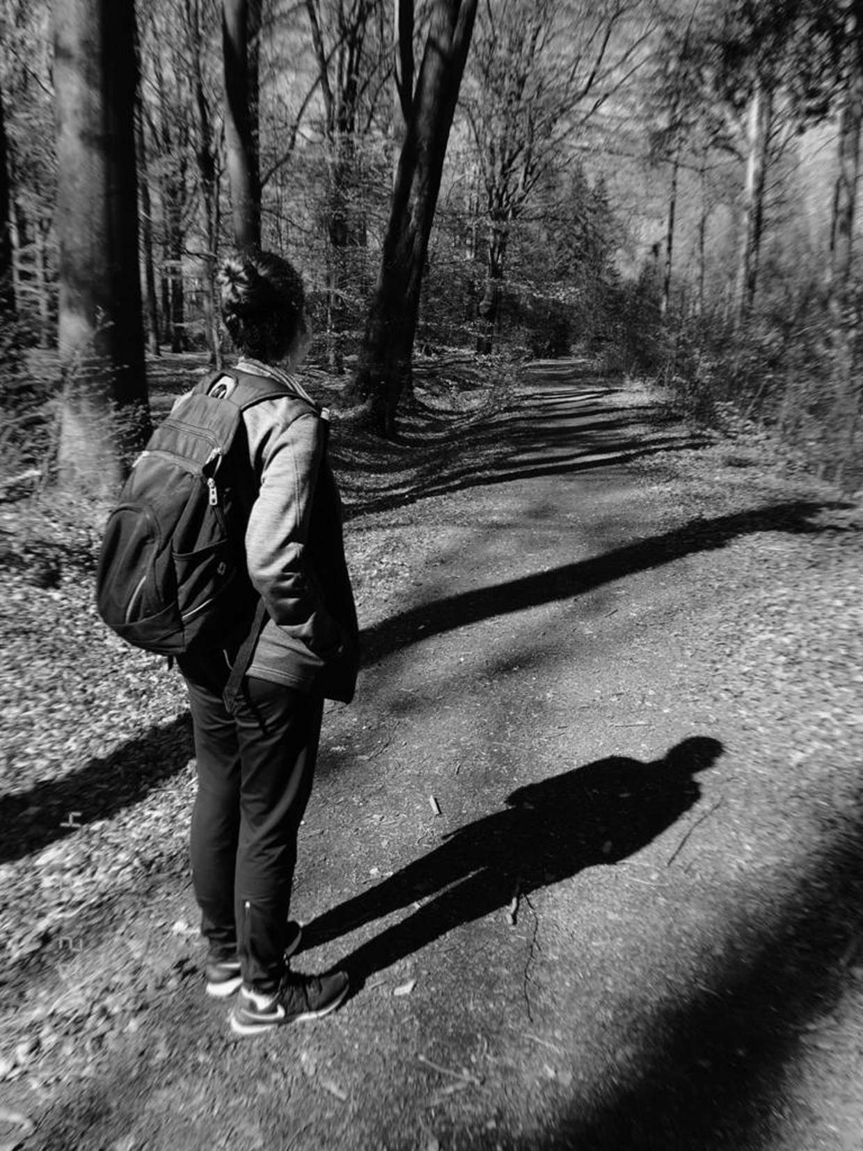
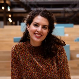
Alejandra Torres Rodriguez decided to leave Mexico for a challenge in the Netherlands. She graduated in September 2020 in Natural Resources Management, a specialisation of the master’s programme Geo-information Science and Earth Observation. She has chosen to do so because she wanted to learn more about geo-information science, specifically on their application to forest management to enrich her previous academic and professional background.
You have graduated in September 2020 and have taken up a position as a PhD candidate as part of the BIOSPACE team. To have a good climate and living conditions, it is important to have a variety and variability of living organisms, animals, plants, fungi and microorganisms.
Why is this so important for all of us? And can research on this topic also bring benefits to climate change?
“Yes, biodiversity is vital since we need to have this variability of organisms in charge of different functions, to sustain an ecosystem at the same time that brings ecosystemic services to human society. But species richness and the different roles that they have can be treated by anthropogenic activities and by the climate change effects (temperature, water and nutrient cycles, etc).
At the same time, a particular task developed by one loss species sometimes can be replaced by another, and the ecosystem equilibrium remains. Species can also adapt to environmental changes. But everything may be flexible until a certain point before degradation develop which can also make climate change effects worse. Research around biodiversity and climate change has been increasing our knowledge of the organism's functions and interactions, how the system works and what can trigger what and how much.”
What is your research assignment as a PhD candidate in the BIOSPACE group? Would your research results have an impact on society?
“I am starting a PhD as part of a bigger research group. In my case, I am focusing on the estimation of plant traits related to microorganisms hosted on the leaves by using hyperspectral and LiDAR Remote Sensors (RS). To ultimately explore if we can link the microorganisms' environmental DNA (eDNA) with the RS imagery.
Forest trees have very interesting symbiotic relationships with microbial communities, supporting plant growth and protecting trees from stress and pathogens, while the trees offer microbes a home and nutrients. Ultimately the impact of our program's work will be to monitor and predict a part of biodiversity which is not obvious or visible, but nonetheless very important for our sustainable use of the Earth's resources.”
Before starting your PhD, you completed a master's programme within Geo-Information Science and Earth Observation.
How did you decide to leave Mexico and come to the Netherlands to pursue this master? What makes GEO stands out for you?
“As a bachelor, I studied environmental engineer and, I worked for around 5 years in different fields. This gave me a broad view, a systemic approach on how to analyse things. But I wanted to specialise a little and wanted to learn more technical skills. I was interested to learn more about Geo-information systems and their applications on environmental systems. It turns out that two ex-professors did their master and PhD at UT, so they did recommend it to me a lot. Both the university and the country. I also, ended up here since the ITC award me with an excellence scholarship + some loans, and I finally made it. Also, I got another scholarship by the Mexican government that covered the leaving cost of my second year”
Geo-information science and earth observation is all about collecting, processing, analysing, visualising and organising data representing the location, size and shape of objects on our planet. This data is generally referred to as spatial information. It is the key to solving complex issues that may involve agricultural practices, land rights mapping, water safety & security, urban search-and-rescue, geothermal energy sources, weather-related perils, agro-good trade, sustainable social housing and inclusive urban communities.
What research area do you like working on most and why?
“I consider that the spatial perspective is key to understanding almost everything regarding social and environmental matters. So the master programme I did had several specialisations. I choose the one in Natural Resources Management. In this department, I was surrounded by research experts remote sensing for application on wildlife, agriculture and forestry, being the latest, my favourite. I already had some experience, as part of a consultancy group, on forestry and agroforestry systems as well as land management policies and programmes. I am just fascinated by the forest and how this ecosystem works but also, how we humans interact with them.
Why? I don't know. Maybe because I grew up in a big city, nature always makes me curious and I genuinely enjoy it, like an outsider that looks for belonging. I have always admired rural people; they can look to the sky and know at what time it is going to rain, the status of their crop field, etc.…The city I grew up in is surrounded by a lot of conservation areas and cool places to make road trips, camping and running/walking activities outdoors. I love it, but I also have witnessed how these landscapes have been changed with time, and not in the right direction.
What kind of courses did you take and which was your favourite?
“There are many (also many that I would have loved to take but couldn't, otherwise I would be still in the master hahaha). I like 'environmental modelling' and 'the role of forest in climate change'. They were an overview of the different remote sensors and methodologies to assess and monitor natural resources and the latest was specifically on the forest. I also enjoy a course on Unmanaged Aerial Vehicles- UAV (or drones) where we learn how to process and the applications of apply UAV-images. As well as a course on modelling plant growth and productivity from satellite images.”
Recently, the international climate summit convened (online), the Climate Adaptation Summit 2021 (CAS 2021). This summit aimed to find solutions to adapt to the effects of climate change, such as extreme rainfall, drought, heat and rising sea levels. During your master, you learned to utilise geo-spatial data for sustainable agriculture, environment and forests.
Could you say that as a researcher in this field you can help society adapt to climate change?
“Yes, I know that geo-information and environmental science are developing more and more to bring more answers, better understanding in what is happening and what we-society should do. If we-society act on it or not, that is another story. The idea is that these remote sensing applications can support decision-makers to tackle climate change effects. Therefore, the importance of social pressure on applying science-based policies and on an individual level, we have to adapt our lifestyle.
Keep in mind that forest ecosystem involves many functions and ecosystem services, but just taking as an example the carbon sequestration function: we can use remote sensing data to estimate carbon that is right now captured on the biomes on a forest area. We could also estimate during time how much carbon can be sequestered. We could also measure the nutrients, etc. on soil and trees to monitor their health and improve it. We can monitoring forest fire, pest or degradation drivers or indicators to be prepared for potential threats. We could also look at the possible areas to increase forest area and estimate their carbon sequestration potential if the site is reforested. And many, many things using different sensor types and method approaches. I think it is a field that is rapidly evolving and its potential is exciting and very needed. “
Geo-information Science and Earth Observation is an international master with many students from all over the world.
What is it like to study this programme together with so many students with so many different cultural backgrounds?
“You end up in the most random conversations because what is obvious to me is certainly not to you. During classes, you are doing teamwork dealing with two things: different disciplines and cultural backgrounds. The discussion is always fascinating. It is inevitable to question yourself about the things that you take as obvious. It was a very enriching experience on a personal and professional level.”
Would you recommend Geo-information Science and Earth Observation @UT to students back home?
“Yes. And I would say it is very important to stay positive, open and motivated. The learning experience is also outside the classroom. It is challenging in every sense but it is worth it.”