Biodiversity loss is one of the biggest threats that the world is currently facing. If we were to describe “biodiversity,” we could do it by explaining that it is the variety of all living organisms on the planet and the ecological systems that they are part of. With many factors in play, such as climate change, the world is seeing an exponential decrease in species, genetic diversity, and ecosystem diversity.
To address this issue, the scientific community has been trying to monitor biodiversity and assess biodiversity loss by the use of different techniques such as field surveys, camera traps, and more recently, using remote sensing data. Several studies demonstrated that species biodiversity can be accurately estimated using hyperspectral data from aircraft. Although extremely effective, the problem with aerial hyperspectral data is that these data are acquired on a specific acquisition date and can cover relatively small study areas due to their acquisition costs.
This is why the use of satellite remote sensing data drastically changed the perspective on monitoring biodiversity. Remote sensing provides a sustainable method to acquire precise, consistent data at a global scale to monitor biodiversity. With this technology, scientists can gather information about the vegetation, land cover, and water quality of different regions of the world, allowing for a more comprehensive understanding of biodiversity and the factors that influence it. According to the spatial and spectral properties of different optical remote sensing data, different information can be collected for monitoring biodiversity. However, high-frequency data is mainly associated with multispectral satellite data, although future space missions will provide satellite high temporal hyperspectral data soon.
Assessing biodiversity from the surface, to a satellite, to our screens
Claudia Paris and Margarita Huesca are assistant professors at the NRS Department of the ITC Faculty (University of Twente) and quickly realized the opportunities that hyperspectral remote sensing offers to develop a new standard of biodiversity monitoring. “The approach using hyperspectral data (high spatial and spectral resolution) has been tested in the community, but there is still the need to understand what happens with lower spatial and spectral resolution optical satellite data. We want to fill this gap to accurately monitor biodiversity in different ecosystems” explains Margarita. In a technical sense, this gap takes place from a high spatial to a spectral resolution. The community usually applies the method that is commonly used for a specific landscape or area but, according to Claudia, “Before taking a tool and applying it you should be able to understand what the tool is doing and why you chose to apply it on that data. Then, you will be able to interpret the results. Explainability – a keyword that I would like to emphasize - is our driver”.
With explainability as a pillar and global biodiversity monitoring as an end goal, Claudia and Margarita started this exploratory research together. The idea aims to predict and monitor biodiversity in different ecosystems by assessing and comparing multi-sensor multi-platform remote sensing images. Or in other words, as Margarita describes, “We are combining ecological perspective with technical tools that can help us to monitor biodiversity”, both researchers complement each other due to their different backgrounds of expertise. Claudia Paris, with a technical engineering background, provides knowledge about technology and sensors, while Margarita Huesca delivers the interpretation of the results due to her knowledge of biodiversity.
|
|
|
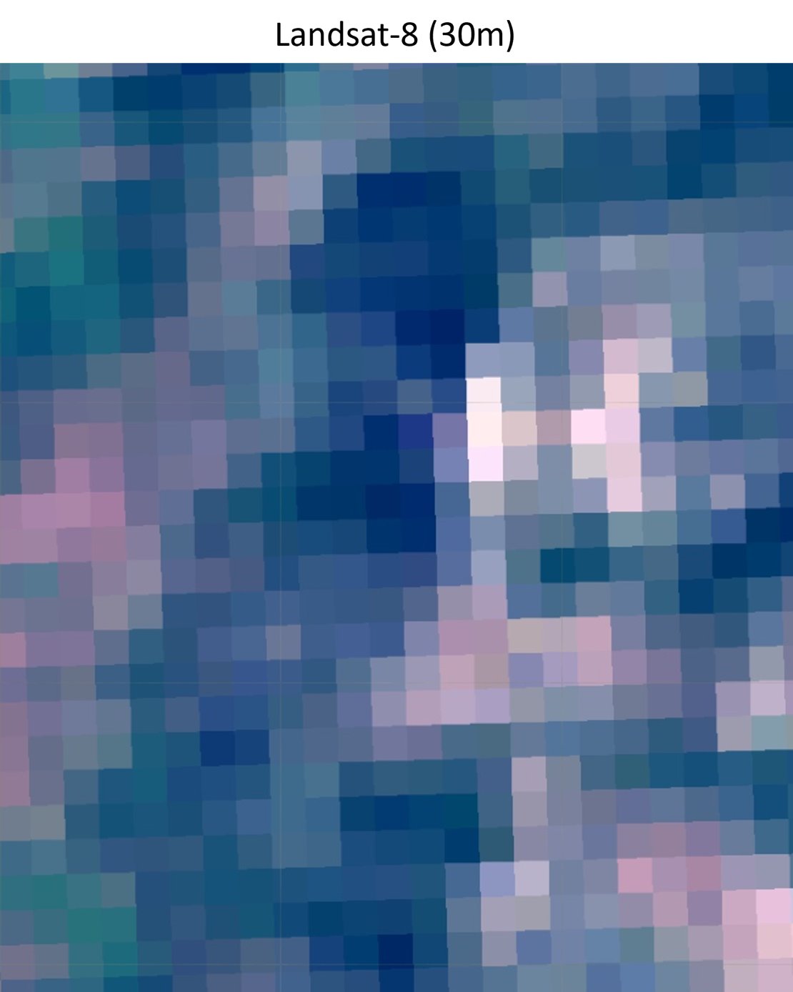
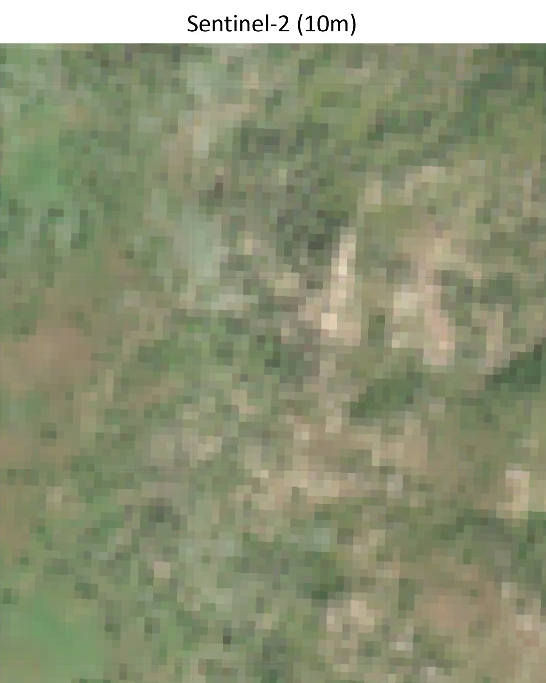
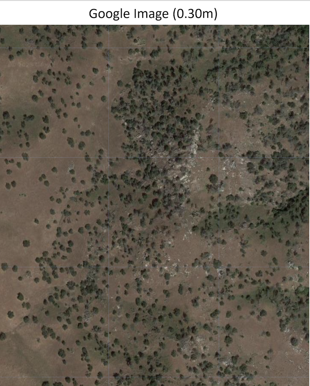
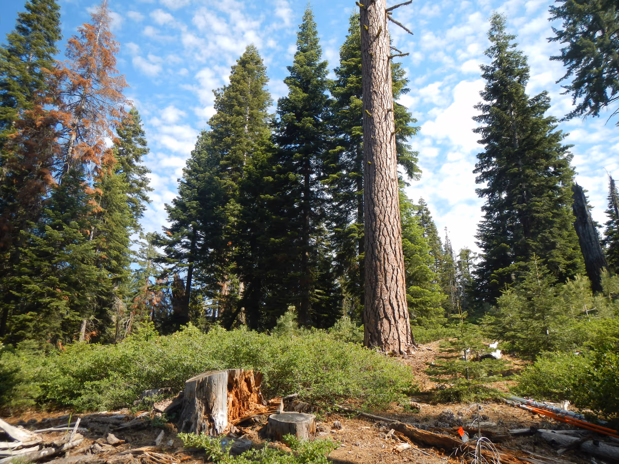
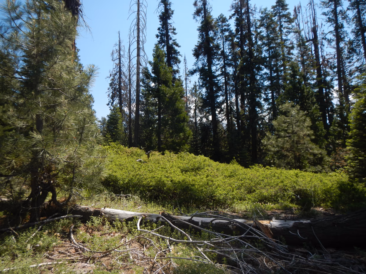
Images with different spatial resolutions in San Joaquin County, California (Credit: Claudia Paris)
a global problem that requires a global approach
The initial area of research with this approach was a tropical forest in India. Now, the research is moving to a Mediterranean area. And with MSc students involved in the project, different ecosystems and types of data to apply this approach are starting to take place; “We are exploring the capability of different remote sensing data of assessing biodiversity in different types of ecosystems; from a dense, very biodiverse ecosystem, to a very open Mediterranean ecosystem, in collaboration with an MSc student. We will soon start another study site in a mixed forest ecosystem and an Alpine conifer ecosystem. In addition, we are exploring how to use this approach using low spatial and spectral resolution data with the help of another MSC student ” explains Margarita.
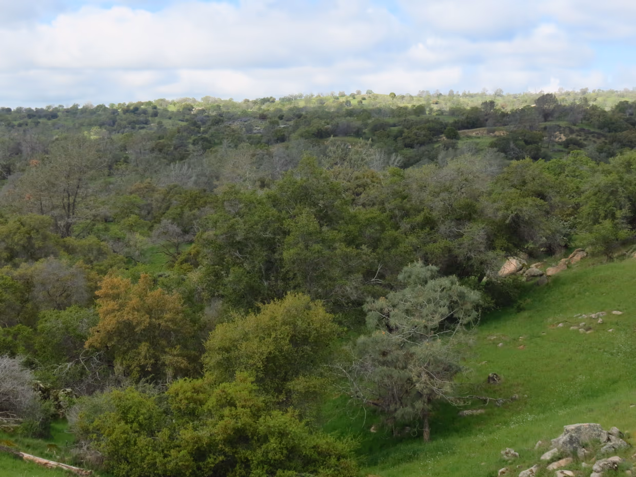
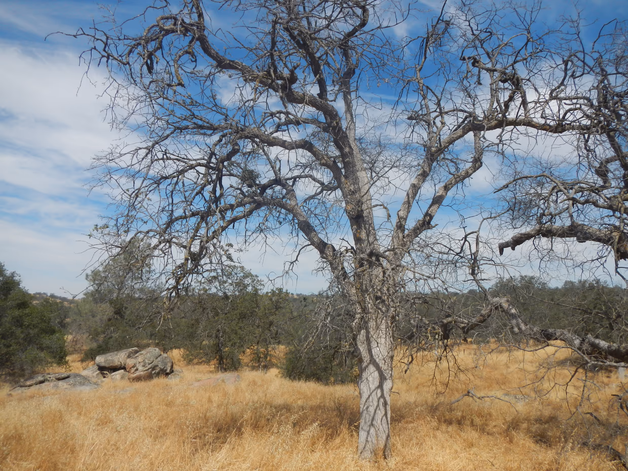
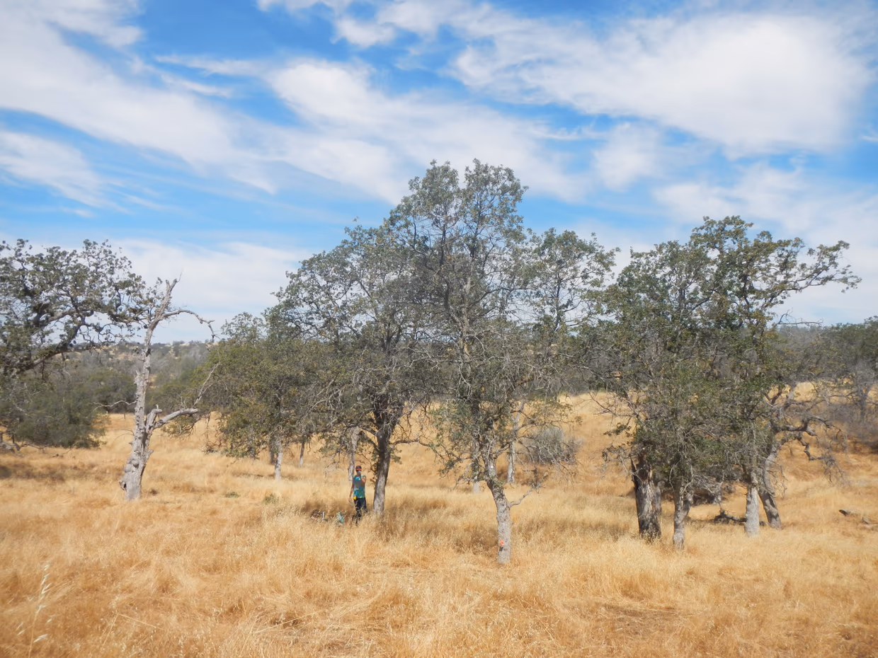
Rise of tree mortality in a Mediterranean ecosystem (Credit: Margarita Huesca Martínez)
The results obtained are currently preliminary but promising, where our researchers observe how the approaches that are used in literature using high spatial and spectral resolution data can be applied to different types of sensors and different types of ecosystems. In this step, it is important to simulate the sensor properties, which go hand in hand with the concept of explainability. “Simulating the data allow us to clearly assess the impact of different spatial and spectral resolutions on estimating biodiversity. Then you can start applying more sophisticated algorithms that are able to disentangle the different components that are within the pixel to try to recollect that specific data with the original one that was high spatial resolution” says Claudia; “Now we are in the exploratory phase. It is totally research-oriented, aimed to understand what the output is” she adds. The next phases of the research project will be determined by what is determined by the process and the involvement of MSc students.
Margarita Huesca and Claudia Paris in the indoor gardens of the ITC Faculty
Please contact Margarita Huesca or Claudia Paris for more information about this project:


More recent news
 Fri 10 Oct 2025ECO-MOSAIC: A new ESA-funded project to monitor biodiversity under Climate Change
 Wed 1 Oct 2025Erasmus+ funds the GEM Programme for 4 more intakes on its 21st anniversary
 Tue 22 Jul 2025In Memoriam: Dr. Abel Chemura
 Mon 30 Jun 2025GEM Joint Event 2025
 Fri 6 Jun 2025PhD candidate Novia Arinda Pradisty receives KNAW grant to research mangrove ecosystems