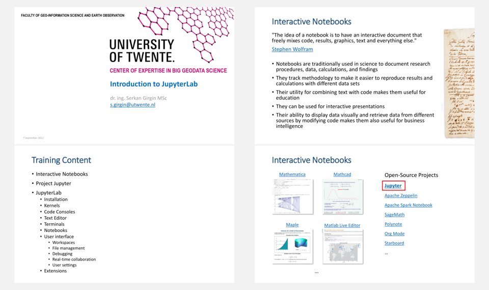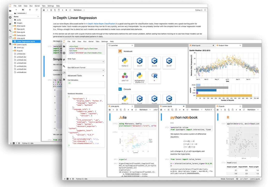
Data analysis and computation by using interactive notebooks is becoming the new norm of data science for exploratory research, rapid prototyping, and education activities, especially for applications such as data mining, machine learning, and spatial analysis. Project Jupyter is one of the most common open-source software ecosystem for this purpose and JupyterLab is its new generation web-based interactive development environment for Jupyter notebooks, code, and data.
This short training workshop organized by the Center of Expertise in Big Geodata Science (CRIB) aims to provide in-depth information and hands-on practice on JupyterLab including the following topics:
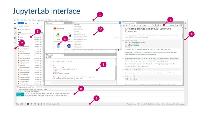
- User interface
- File management
- Viewers and editors
- Notebooks, code consoles, and terminals
- Editing notebooks
- Kernel management
- Extensions
- Remote desktop connection
At the end of the training, you will have a better understanding on how to use JupyterLab and how to use it efficiently by following best practices.
Prerequisites: None
Instructor: dr. ing. Serkan Girgin MSc (s.girgin@utwente.nl)
Date: 7 September 2021, 13:30 - 15:30
Video
Presentation