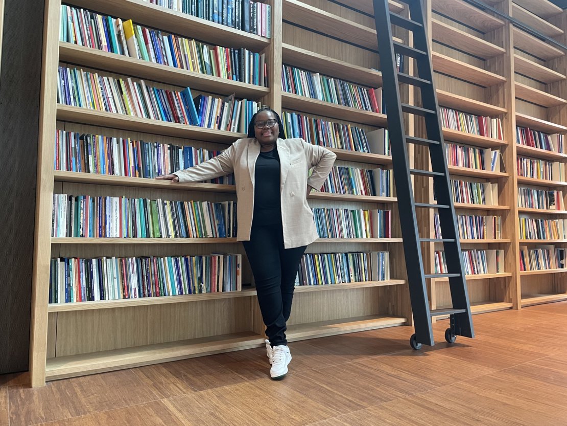
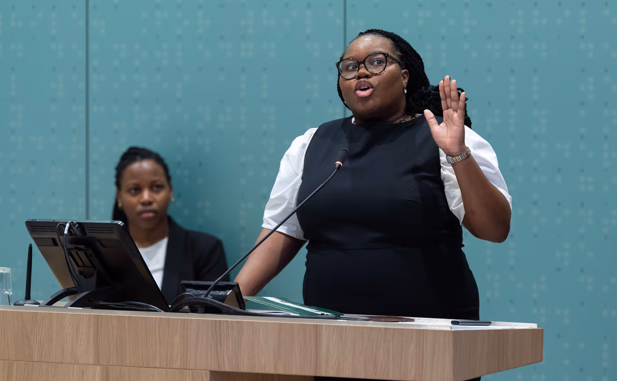
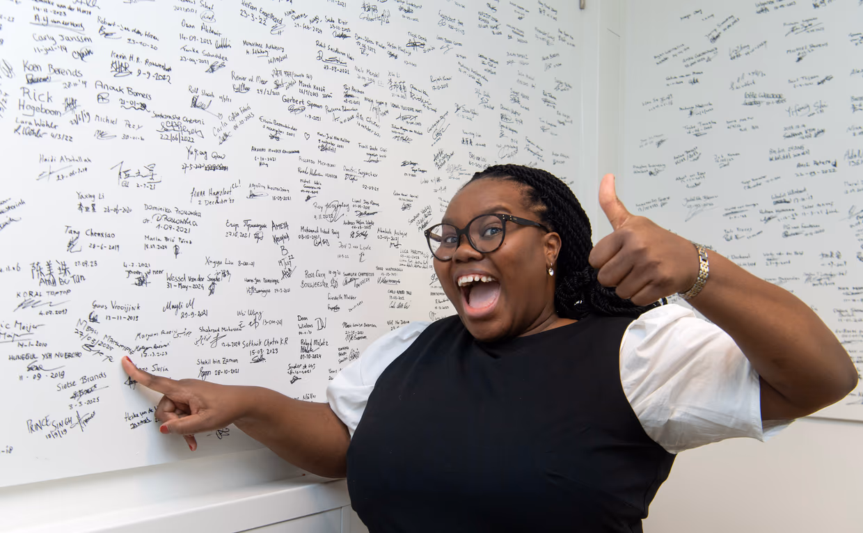
Mbali Mahlayeye recently completed and published her PhD research on remote sensing of maize intercropping at University of Twente’s Faculty of Geo-Information Science and Earth Observation. This significant achievement prompted an interview to discuss her journey, research findings, and future aspirations.
Growing up in South Africa, Mbali was inspired by the potential of remote sensing technology to address challenges in agriculture, water, and broader natural resource management. Her academic path began with a degree in geology, followed by a master's in remote sensing. Driven to make a meaningful impact, she sought opportunities to further her studies abroad. "ITC is quite popular in the African space," Mbali explains. "Some successful geospatial researchers in South Africa come from ITC." This reputation, coupled with the encouragement of her mentors, led her to pursue a PhD at ITC, where she could delve deeper into the complexities of intercropping and remote sensing.
Transforming agriculture with efficient crop monitoring
Mbali's research focuses on using remote sensing to monitor maize intercropping. Intercropping, the practice of cultivating multiple crops within the same field, optimizes land use and improves soil fertility. Traditional methods of monitoring crops are often imprecise and time-consuming. "Remote sensing offers a more efficient way to monitor crops," Mbali notes. Her study employs data from Sentinel-2, PlanetScope, and DESIS hyperspectral sensors to analyze the spatial and temporal variability of crop growth. This multi-sensor approach aims to enhance the understanding of complex cropping patterns, particularly those involving intercropping.
Agricultural policy and future aspirations
“When you look at a country like Kenya, most of the food being produced actually comes from smallholder farms,” Mbali explains. About 75% of farmers in Kenya are smallholders, and they contribute nearly 80% of the country’s agricultural output. She emphasizes how critical it is to have accurate data on these cropping practices and cropping patterns. “Peter Drucker once said: you can’t manage what you can’t measure. Without comprehensive data on how smallholders manage their fields, particularly with diverse intercropping methods, food security planning remains incomplete", Mbali asserts. Her work can assist policymakers in making better-informed decisions and supporting farmers more effectively. Her aspirations extend beyond her PhD, aiming to contribute to the development of sustainable agricultural practices and policies.
As a South African, Mbali is deeply passionate about contributing to sustainable natural resource management. Over the years, she has successfully developed and applied tools ranging from satellite-based crop monitoring systems to drought early warning platforms—demonstrating the real-world value of geospatial technologies in supporting agricultural policy and practice. Her commitment is rooted in the desire to see farmers empowered with data-driven, climate-resilient solutions, especially in a country like South Africa, where agriculture places significant pressure on limited water resources.
With the escalating impacts of drought and climate change, Mbali sees intercropping as a key strategy for improving both productivity and sustainability. Her research introduces frameworks that help visualize and quantify the benefits of intercropping, addressing critical gaps in cropping pattern mapping. “I would ideally love to see myself being part of creating accurate regional maps of countries, with diverse cropping practices,” she notes. Looking ahead, Mbali is eager to extend this impact beyond her PhD—bridging science and policy to promote sustainable agricultural practices and strengthen food systems across the African continent.
Inspiring Future Researchers
"I want future PhD students to understand that despite the difficulties and obstacles they face in their research, there’s a lot of growth happening in the background," Mbali shares. "It may not always be visible immediately, but over time, the progress becomes clear. And you need that kind of growth after completing such a milestone, especially when you’re about to embark on an entirely new journey. I hope my work inspires others to follow their path, keep persevering, and contribute to important scientific and societal issues."
More recent news
 Wed 25 Mar 20264TU.Health Event 2026 sets course for collaborative healthcare innovation
 Tue 17 Mar 2026Rising temperatures can delay the arrival of spring
 Thu 5 Mar 2026Tom Loran says goodbye to ITC
 Thu 19 Feb 2026Project SEEN‑ATLAS Receives European Funding
 Wed 18 Feb 2026Master's in Geo-information Science and Earth Observation recognised as an initial Master's