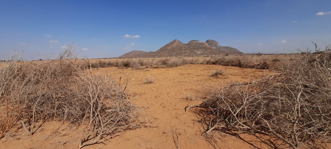
Rainfall (supply) deficits and evapotranspiration (demand) increases in the atmospheric water cycle trigger droughts. Agricultural droughts persist over several months or seasons and lower soil moisture levels, which can lead to food insecurity (e.g., crop loss or failure, spikes in food prices,...). State-of-the-art platforms, such as the ECOsystem Spaceborne Thermal Radiometer Experiment on Space Station (ECOSTRESS) use spaceborne image and weather data to estimate evapotranspiration (ET) and the Evaporative Stress Index (ESI). Scientists and practioners alike increasingly use ECOSTRESS maps of ET and ESI products to monitor droughts, because they are more indicative of vetetation health than traditional rainfall indices. Opportunities exist however to improve the reliability and usability of ECOSTRESS ET and ESI for decision-support.
The European Space Agency (ESA) EO Africa HyRELIEF project exploits hyperspectral narrowbands detected by a new generation of satellites (Italian Space Agency PRISMA-PRecursore IperSpettrale della Missione Applicativa, German Space Agency Environmental Mapping and Analysis Program-ENMAP, European Space Agency Sentinel-2) and employs an Agile co-production approach with knowledge users to increase the reliability and usability of ECOTRESS drought monitoring tools in Kenya.