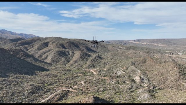
We use drones and autonomous robots for geoscience applications, research and capacity-building projects.
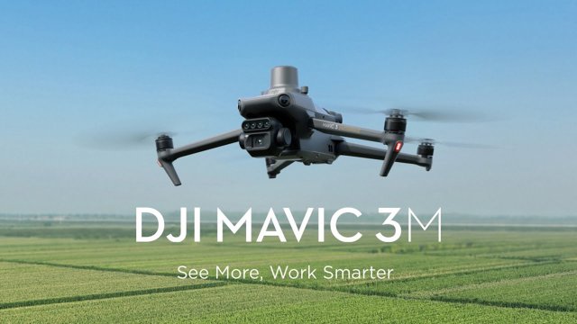
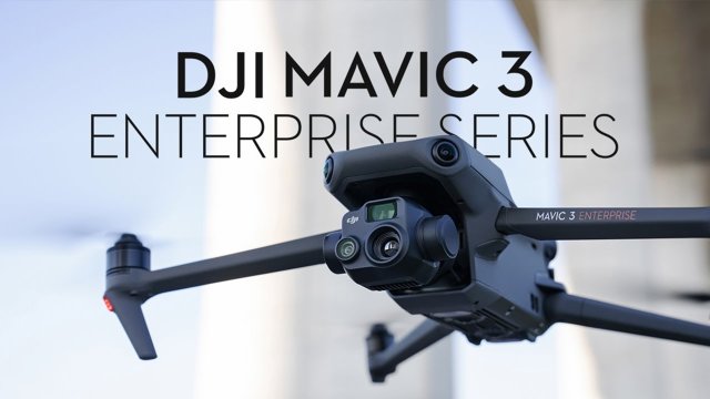
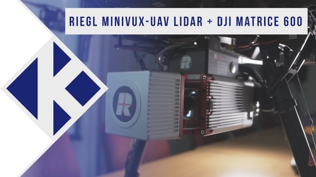
The DroneLab offers a unique environment for exploring the possibilities of unmanned aerial vehicles. Our fleet of drones is available for flying, giving students, researchers, and partners hands-on access to advanced platforms equipped with multispectral, hyperspectral, thermal, and LiDAR cameras. To support safe and effective operations, the DroneLab also has two skilled pilots available to assist with flights and training. These resources enable high-quality data collection for applications in agriculture, environmental monitoring, inspection, and beyond.
Working closely with the UAV Centre, the DroneLab also supports the development and testing of new UAV technologies. Together, they provide state-of-the-art facilities where innovative drone systems, sensors, and applications are designed, validated, and brought into practice. This combination of practical flying experience and cutting-edge research makes the DroneLab a hub for education, innovation, and collaboration in drone technology.