DISCOVER THE WORLD OF disaster risk reduction, preparedness, response, and resilience - especially in the context of climate change
The term disaster brings dramatic pictures to the minds of many people – pictures of destruction, flooded houses and fields, famine, misery. Many people feel that a disaster can strike at any time, quite randomly, or see it as a divine sign. Disasters are indeed common – several hundred disasters that kill people or cause significant damage are recorded every year, affecting some 100-200 million people. However, they are not random, unforeseeable events. Almost everyone on Earth is exposed to potentially dangerous hydrometeorological (windstorms, floods, etc.) or geophysical (earthquakes, landslides, etc.) processes, called hazards. If we don’t understand those processes, prepare for them, plan our cities and infrastructure accordingly, or monitor those processes to generate early warnings, we indeed set ourselves up for disasters.


In this course, you will learn what causes those hazardous processes, how they can be detected, quantified, modelled, and monitored with geoinformation. You will also learn how this knowledge is used to understand risk – the situation that results when a hazard threatens populated areas or our infrastructure – and how that risk can be reduced, or even eliminated. Proper planning not only means giving rivers large floodplains to limit devastating flooding in cities, but also constructing buildings to specific earthquake-resistant standards. It also includes educating decision makers as well as regular citizens about those risks and what can be done about them. Good planning and preparedness, together with measures that allow a community affected by a hazard event to get back on its feet quickly, lead to disaster resilience – the ability to withstand shocks and to recover quickly.
In this course, you can choose whether you want to become an expert disaster risk manager, someone who is proficient in hazard and risk modelling, or someone who loves to work in data analysis, including remote sensing image analysis, machine learning or big data processing. All three experts are needed to make communities safer from hazards.
The Disaster Resilience specialisation offers exciting learning opportunities for students eager to focus on risk reduction, disaster preparedness and response, recovery, and the built-up of resilience, especially in the context of climate change. You will gain invaluable skills and knowledge tailored for various disaster resilience-related career opportunities, organised by learning pathways focused on managing, modelling or data analysis related to disaster risk.
Learning pathways
Under this specialisation, two predefined pathways exist. These pathways offer a coherent set of courses directed at a certain career path. Probably one of the available pathways in the programme will suit your needs. You can tailor some of the courses and choices in these pathways, but you should discuss this first with your mentor or study adviser.
What will you learn?
As a graduate of the Master's in Geo-Information Science and Earth Observation with a specialisation in Disaster Resilience, you will have acquired different types of knowledge, but also specific skills and values.
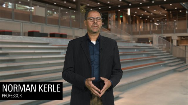
Video Disaster Resilience explained
In this video, course coordinator Norman Kerle explains the Disaster Resilience specialisation within the Master's in Geo-information Science and Earth Observation.
Other master's and specialisations
Is this specialisation not exactly what you are looking for? Maybe one of the other specialisations suits you better. You can also find out more about related Master’s at the University of Twente:
- GeoAI specialisation
- Urban and Land Futures specialisation
- Resource Security specialisation
- Master’s in Spatial Systems & Society
- Master’s in Sustainable Energy Technology