Shutterstock

Urban and Land Futures

Learn to understand complex urban and regional processes and develop scalable, sustainable strategies that work towards inclusive, competitive, and resilient urban regions and effective land administration through the development of cadastral maps and registers.

By 2050, 68% of the world’s population is projected to live in urban areas, therefore making cities liveable, inclusive, safe and resilient to climate extremes is important. In addition, with more than 70% of the world’s land parcels unregistered, the need for efficient, responsible land administration has never been greater. Land is the foundation of every society, yet millions face uncertainty about land ownership, particularly in and around urban areas. Geographic information and geospatial technologies play a vital role in capturing the dynamic changes occurring in our cities, mapping and managing land security to help design sustainable cities of the future.

The Urban and Land Futures specialisation is designed for students like you who are passionate about tackling social, environmental, economic, and land tenure challenges in urban and regional areas.

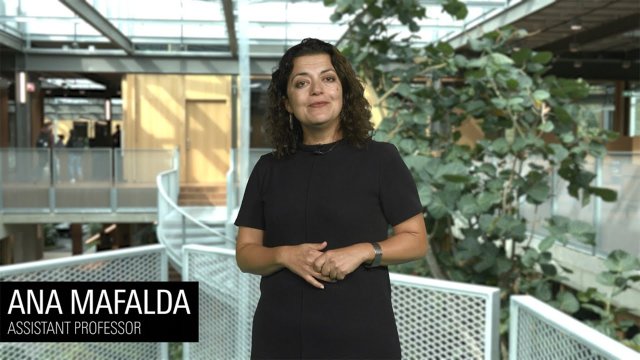
Video Urban and Land Futures explained

In this video, course coordinator Ana Mafalda explains the Urban and Land Futures specialisation within the Master's in Geo-information Science and Earth Observation.

Master's Geo-Information Science and Earth Observation

Go to registration!
Dr. Dimo Todorovski

Let’s say, you are buying a new property with a loan or you have a parcel boundary problem with your neighbors. You can’t solve it without a proper land administration system in place. Registering and mapping land is crucial for the functioning of the state (or community) and the well-being of its people.

Dr. Dimo Todorovski
Dr. Javier Martinez

You will learn to make cities more inclusive, safer, resilient, and sustainable by, for example, mapping and identifying deprived neighborhoods or slums and assessing the impact of new forms of residential development, such as gated communities, on urban dwellers’ lives.

Dr. Javier Martinez

What is Urban and Land Futures?

Urban and Land Futures specialization consists of two learning pathways:   

* where SMART is: S- Sustained; M-Measured; A-Adjudicated; R-Registered and T-Tenured.

Learning Pathways

Under this specialisation, two predefined pathways exist. These pathways offer a coherent set of courses directed at a certain career path. Probably one of the available pathways in the programme will suit your needs. You can tailor some of the courses and choices in these pathways, but you should discuss this first with your mentor or study adviser.

  • The Planning for Liveable and Resilient Cities learning pathway will equip you with geographic information science skills that will enable you to model, assess, and put forward solutions for creating more resilient, equitable, and inclusive cities and regions.

    Through a blend of theory and hands-on practice, you'll master the latest tools and techniques for spatial planning and management while focusing on real-world impact. We emphasise people-centric, socio-technical approaches so that you can leverage advanced tools and methods like digital twins, ecosystem services, nature-based solutions, and digital participatory planning to design thriving urban environments. Join us to become a leader in shaping the smarter and more inclusive cities of tomorrow.

  • The Making Cities and Land SMART* learning pathway equips you with the expertise to develop responsible land administration systems that document and map people-to-land relationships.  Without such systems, authorities and communities don’t know who owns what, and residents don’t have security of tenure and can lose their land or get evicted at any time.

    Master cutting-edge technologies, including advanced geo-information and land surveying methods. Learn to model and utilise both direct data sources (terrestrial and mobile data) and remotely sensed data (satellite, aerial, and UAV-drone imagery). Expand beyond 2D to develop 3D cadastral systems, laying the groundwork for creating Digital Twins.

    If you’re passionate about solving global land issues or looking to enhance your career in land administration, this specialisation will give you the skills to make a real-world impact. Join us and be part of the solution to one of the most pressing global challenges - land tenure security!

    *where SMART is: S- Sustained; M-Measured; A-Adjudicated; R-Registered and T-Tenured

What will you learn?

As a graduate of the Master's in Geo-Information Science and Earth Observation with a specialisation in Urban and Land Futures, you will gain the following knowledge, skills and values.

  • After completing this Master’s specialisation, you will:

    • Understand and contextualise key urban planning and land administration theories and practices as a basis for understanding urban problems and processes, or to design and apply responsible land administration solutions
    • Have a solid knowledge of geo-information science-based approaches to address urban planning and land administration challenges
    • Critically use geo-information methods in the fields of urban planning and land administration
  • After successfully finishing this Master’s specialisation, you can:

    • Conduct a spatial analysis to understand and address urban processes and problems, or design and apply responsible land administration solutions using the latest technologies and methods
    • Lead the development of geo-information-based design for urban planning or lead the design of scalable land information systems and models
    • Apply effective communication with stakeholders for designing urban planning and responsible land administration solutions
  • After completing this Master’s specialisation, you will:

    • Ethically use geospatial data and science
    • Understand the transdisciplinary collaboration required to address the Sustainable Development Goals related to urban and land management
    • Maintain a critical attitude towards technological innovations in urban and land management

Other master's and specialisations

Is this specialisation not exactly what you are looking for? Maybe one of the other specialisations suits you better. You can also find out more about related Master’s at the University of Twente:

Choose your specialisation during the first quartile

Can't decide which specialisation is right for you? You don't have to make a decision now. You can choose your specialisation during the first quartile of the programme.

Key information

Top rated programme
Degree
MSc
CROHO code
75014
Faculty
Geo-Information Science and Earth Observation
Diploma
Geo-information Science & Earth Observation
Duration
2 years
Language
100% English-taught
Application deadline
EU/EEA
1 July 2026
non EU/EEA
1 June 2026
Dutch
15 August 2026
Starting date
1 September 2026
End date
21 July 2028
ECTS
120
Tuition fees
Full period 2026 / 2027
full-time, non-EU/EEA
€ 21,700
full-time, EU/EEA
€ 21,700
Additional costs
Cost of living, year
€ 15.000
Insurance, full programme
€ 1.400
Visa, full programme
€ 270
Please note
Additional costs are subject to change, depending on the duration of your stay.