Our ambition
Our central focus and ambition is to provide actionable geo-information to diverse stakeholders. Under actionable geoinformation we understand high-quality geoinformation that is up-to-date and ready-to-use in critical as well as commonplace applications, e.g., crisis response, policy-making and planning for key societal problems, or supporting smallholder farmers in decision-making.
What is it that we do?
Based on our ambition of producing actionable geo-information, the department works on the design and development of methods & techniques for processing (acquiring, organizing, analyzing) heterogeneous collections of spatio-temporal data, and in the implementation of open geo-information solutions (models, visualizations and services) that help to understand key societal problems.
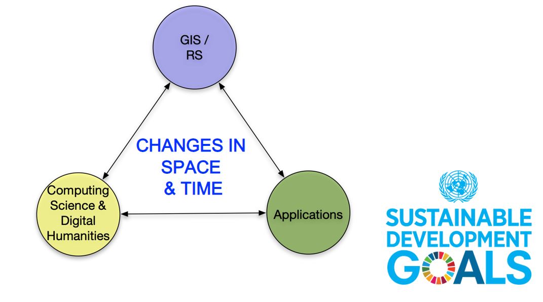
As such we operate in the triangle formed between fundamental GIS/RS, domain applications, and Computer Science & Digital Humanities. For this, we strongly advocate for co-creating knowledge with domain experts to ensure the societal relevance and scientific validity of our work. We link our work to the UT’s Digital Society Institute (DSI).
Fields of interest
We are particularly inspired to work on problems arising in societies of the Global South, and as laid out in the UN’s Sustainable Development Goals. Our research specializes around problems that relate to change. For instance, human or goods movements, changes in food and water cycles and implications for impacts on humans and for ecosystems, the spread of infectious diseases, etc.


For more GeoHero videos please visit ITC's GeoHero YouTube Channel