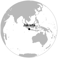
 Methodological demonstration for Chapter 18 “Utilising volunteered geographic information to assess resident’s flood evacuation shelters. Case study:Jakarta” (pp. 307-321)
Kusumo A.N.L, Reckien D., Verplanke J. Mark Brussel
Methodological demonstration by André Mano
The book chapter explores the usefulness of Volunteered Geographic Information (VGI) collected from Twitter to assess the spatial distribution of formal (official) and informal flood shelters in Jakarta, Indonesia. For that purpose two flood events from 2013-14 and 2015-16 are used to compare the location of the official shelters with the location of the actual places where people sought refuge in order to evaluate the value of VGI information for spatial planning.

