
Nairobi, Kenya — Space4All team completed an intensive fieldwork campaign across Nairobi's most vulnerable neighborhoods, focusing on undertanding flood factors and their impacts, raising risk awareness and training residents. The mission, which took place from April 2 to April 21, engaged four local communities (Kibera, Mathare, Mukuru, and Korogocho). Take a sneak peek of this experience with our video and read the details below:
Understanding Floods: From Workshops to Riverwalks
The fieldwork kicked off with an ambitious agenda: workshops were held to assess the Fast-Flood Simulation (FFS) model’s performance at a neighborhood level, incorporating feedback from residents. Each community brought its unique dynamics, as participants from diverse backgrounds— age and gender too—collaborated to enhance the accuracy of flood maps and explore the underlying causes and impacts of flooding.
- Figure 1 - First row are workshop photos from different activities, second row are the flood vulnerability impact chains, third row are the mapped “false negatives” (red polygons) spotted during the workshop.
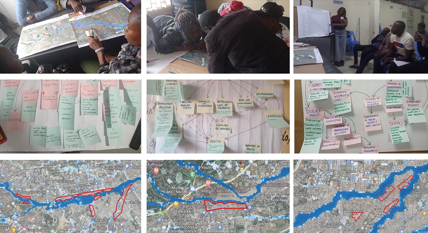
A standout activity was the photo voice exercise, in which community members documented their lived experiences of flood impacts. These photographs, coupled with impactful storytelling, served as powerful representations of the local vulnerability and resilience.
In addition to workshops, researchers embarked on transect to collect river geometry data—an essential component for understanding local hydrology. However, these riverwalks were met with challenges, such as eroded riverbanks and encroachment by informal settlements. Despite this, the team adapted and carried out transect walks, gathering valuable insights about the state of river crossings, drainage systems, infrastructure based on the past experiences lived by the participants.
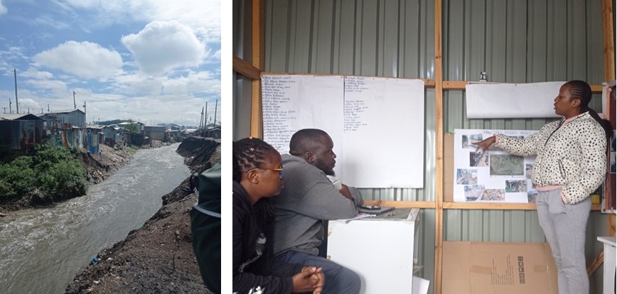
- Figure 2 – Left: Landslides from floods on March 26th, 2024. Right: Photo voice method in Kibera: presentation.
Capacity Building and Collaborative Partnerships
A key focus of the mission was capacity building within the community. The researchers trained community members to use Google My Maps, enabling them to map flood depth and document historical flood events. Eight local participants, each representing their own neighborhood, received comprehensive training on data collection techniques—skills that has continued to serve these communities as they face ongoing challenges related to flooding, including massive evictions.
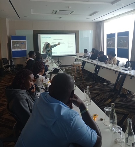
Space4All also facilitated productive dialogues with key institutional stakeholders, particularly in one workshop with representatives from Nairobi City County, a SDI representative, a PhD candidate from the Technical University of Kenya, a member from the Safer Nairobi Initiative (UN-Habitat) and one GIS specialist from APHRC. Participants were very interested in the data requirements of flood model model and provided great feedback for validation (Figure 3).
- Figure 3 - City Planners workshop, Nairobi, April 19th.
A Flooded City in Need of Urgent Solutions
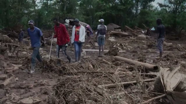
As Space4All’s fieldwork wrapped up, Nairobi began experiencing another round of heavy rains. With the El Niño season underway, more than 40 people have tragically lost their lives in recent weeks, and several bridges have been washed away—including the very crossings that researchers documented during their field visits.
Recognizing the urgent need for actionable solutions, the team is working tirelessly to refine the flood model and provide the updated data to city planners. We hope that these enhanced flood maps can assist in mitigating the impact of future flood events and ultimately help save lives.
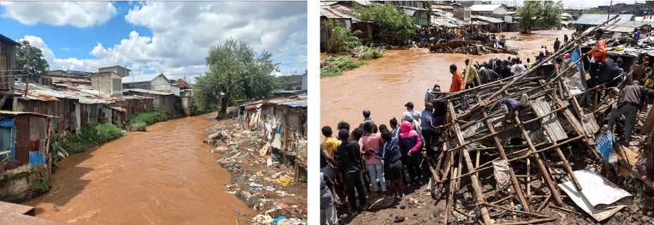
- Figure 4 - Ngumba bridge (Mathare). Left: photo taken by Lorraine in April 12 from the Ngumba Bridge. Right: CNN Kenya photo from a similar spot, now without the bridge and with many property losses.
The Road Ahead
The Space4All project is far from over in Kenya. The team is also busy analyzing the data for the report and looking into the replicability to Kisumu County in 2025. By involving local voices in understanding and mapping flood exposure, Space4All is laying the evidence-based groundwork for more resilient urban futures—not just in Nairobi, but across many vulnerable cities worldwide.


