PLUS Stories

Become a high-skilled geospatial professional


In PLUS research, people are our focus. Are you curious to know more about how this happens? PLUS researchers share their first-hand narratives about the societal relevance and impact of their research.

Fieldwork in Indonesia

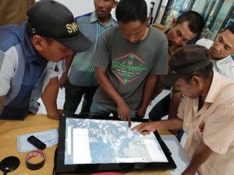
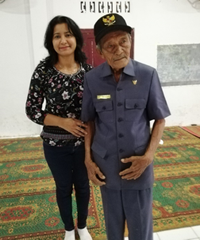
When I was in my fieldwork in Indonesia, a senior man approached me to thank me for taking the time to help them map his village. He was emotional because finally, his village would have a map.


Usable digital tools for collaborative spatial planning processes enable professionals and laypersons to participate effectively in those processes that were inaccessible before. By fulfilling the gap of accessible open-source tools for interactive planning, we strive to boost the use of geo-tools for problem exploration and learning at the early stages of spatial planning.