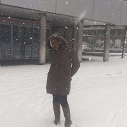
Tasiyiwa Priscilla Madhibha (Zimbabwe)
Tasiyiwa Priscilla Madhibha who is currently studying in the Netherlands through the Joint Japan World Bank Scholarship. Tasiyiwa is a Tree Breeder with the Forestry Commission Zimbabwe. She studied for Geo-Information Science and Earth Observation for Natural Resources Management at the faculty ITC of the University of Twente in the Netherlands.
“It’s very different from Zimbabwe. You are required to be an independent thinker and more time is allocated to practical’s, speaking from my experience at the faculty Geo-Information Science and Earth Observation (ITC) of the University of Twente. The grading system is very high and at ITC a pass mark is 60%. Assessments are based on individual (either exams or individual assignments), group or oral presentations. The first part of the program is mainly teacher based, whilst the other half is student based.
The Dutch are like the tallest people on the planet, you will definitely stare the first days. The Dutch are very friendly people and can speak both English and Dutch, so if you don’t understand Dutch they will quickly switch to English. They are people who like to have a lot of fun, like on special holidays like Kings’ day where everyone dresses in orange and goes to the street to have a good time. Everyone rides a bicycle; most of my lectures come to campus on bicycles. Rush hour in Netherlands is not cars but a lot of bicycles. One thing you have to keep in mind, please utilize your sunny days because those are very few because its rains a lot and it can be very cold. (Red. Find out how other international students experience the Dutch culture!)
My organization will especially benefit on the use of spatial technologies in natural resources management because GIS/Remote sensing can be used in any field for spatial decision making. With Zimbabwe trying to implement UN REDD+ projects that requires knowledge on forest carbon quantification and monitoring. For my research I will work on quantifying Above Ground Biomass (AGB) using modern remote sensing technologies such as LIDAR (Light Detection and Ranging) in a tropical rain forest. Forest carbon in the Zimbabwean forests can also be quantified using the same methods as there are reproducible. The skills and knowledge acquired can be transferred to my colleagues in the organization”


