In the strategic vision of ITC (ITC 2020: More Space for Global Development) it is mentioned that “ITC considers its alumni to be its most important “product”.
They are our proud ambassadors and preferred partners in many projects. ITC will continue to consult and access its alumni network to achieve its mission and its goals. ”
Entrepreneurship and innovation will be specifically targeted in our new capacity development activities and education programs and ITC wants to develop its entrepreneurial core value, and intends to engage with the private sector to take the role of gateway organization.
Feel free to contact the entrepreneurs personally if you are interested in their story.

Argentina
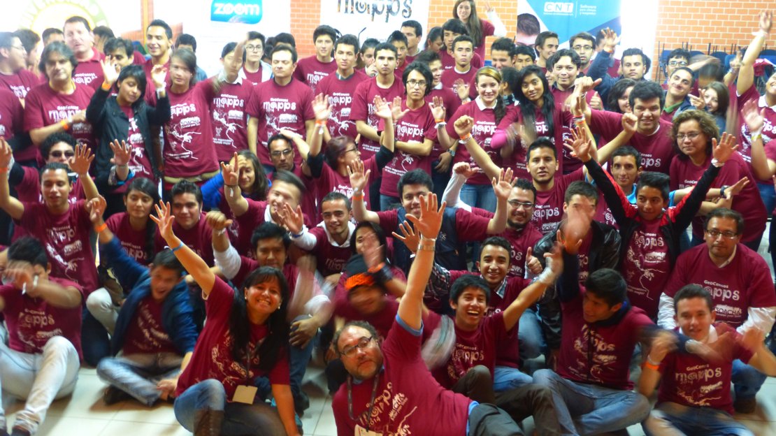
GeoCensos is a social enterprise project to support the adequate use of geoinformation in all kinds of organizations, especially at National Statistics Offices.
Bangladesh
Bolivia
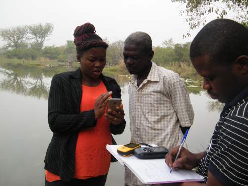
Evaluation of: vegetation, soils, crops, cultivated pastures. 
Cambodia
Located in Phnom Penh, the capital city of Cambodia. KHMER-IO, is a leading in ICT solutions.
We expertise in Enterprise Software Development and Geoinformatics (Geographic Information System and Remote Sensing). We provide full solutions for Enterprise Software.
Need a solution to a specific problem? Contact us.
https://www.khmerio.com/

China
Beijing Tovos Technology Co., Ltd. is a high-tech company specializing in 3D spatial information data analysis, model making and industry applications.
Tovos Technology has mastered the international cutting-edge lidar data processing and application technology, providing three-dimensional digital services and industry core technology solutions for territorial and urban planning, transportation, public infrastructure, electric power, industry, petrochemical, water conservancy, public security and other industries.
Based on the technology developed in University of Twente, we now can create accurate LOD2 building models quickly. We combine AHN lidar data and BGT/BGA/TOP10NL maps, therefore the 3D models is well consistent with the 2D maps on the ground plane. We are able to provide 3D building models for the whole Netherlands with AHN2 data. As soon as the AHN3 data is ready, we can as well provide updated models. City changes in the last several years can also be discovered by comparing the two datasets.
Ecuador
Hidrostrategias supports Integrated water management in a sustainable way for the present and future.
We prepare comprehensive studies and projects considering environmental components, hydraulic infrastructure, economic, social. We have specialists in each component who fulfill individual responsibilities with a collective objective.
We are part of: Water Justice (Ecuador); Rural Water; Global Water Partnership semifinalists in the Agent of Change for Water contest; Water Resources Forum (Ecuador) group of facilitators; The Wet net.
Ethiopia
Ghana
Environment & Agroforestry Foundation (EAF) is a non profit organization with the common interest on helping to achieve the sustainable development goals (SDGs) through the maintenance and enhancement of eco-terrestrial resources towards the biodiversity conservation and improvement of community livelihoods in Ghana and across Africa.
Guatemala
Design and manufacturing of UAV's, Services in digital photogrammetry, Land Administration, Cadastral mapping, Land Surveying, Topographic mapping, remote sensing and precision agriculture
India
Kenya
We are a consortium of like-minded engineers, researchers and educators networking across the globe to transform lives and better the environment through capacity building and supporting sustainable business start-up initiatives. During the past years, we have accomplished a wide range of projects ranging from Environmental Impact Assessments, Tailor-Made GIS courses, capacity building of communities & professionals, and initiating river management initiatives.
http://9855786.343501.renderforestsites.com/
Our vision: There will come a day when no one has to worry about drinking water anymore.
Brineys is committed to ensuring that everyone has physical and economic access to a reliable and healthy drinking water source. This so that people are able to lead a healthy, happy and independent life.
Our mission: Changing the way water scarcity is solved.
Brineys does it differently. In addition to producing drinking water, we also make use of the salt present in seawater. The water is distributed to people who need it. The salt is sold as fair-trade sea salt of high quality. The proceeds from selling sea salt are fully used to produce drinking water. With this business model, Brineys can reduce water scarcity and stimulate the local economy, without depending on donations and funds.

GeoMaestro Consult Africa is a Geo-Informatics consulting firm operating in the Eastern African Region. It was registered in Kenya and South Sudan in 2011 and 2012 respectively. The idea of Geo-Information consulting was born when its partners had successful careers in other consulting agencies in the region.
Geo-Information technology is the discipline involving gathering, storing, processing, and delivering of spatially referenced information. Geo-Information application areas include Infrastructure Management, Environmental Management, Mobile and Automated Mapping, Precision Farming, Intelligent Vehicle Navigation System, Multidimensional Visualization, Real Estate Management, Civil Engineering, Telecommunication, Urban Planning, Land Management and Reform. Due to high development rate in Africa, the demand for Geo-Information services has been growing. It is in favor of this that GeoMaestro Consult Africa came into being to provide the much-needed services
Maptech Consultants Limited was formed in 2013 as a surveying and mapping consultancy company by two directors, Fredrick Onyango and Jackton Omondi. The company’s primary objective is to provide consultancy services in surveying and mapping services to both the public and private sectors. The key consulting areas are in GIS, Remote Sensing, land surveying, aerial surveying and engineering surveying. In 2017 we added the use of drones into our operations. This enabled us to offer cutting edge services to our clients.
Mexico
IDA&RM is a Mexico City-based company that does damage assessment and risk management for the insurance and reinsurance market. We have participated in multiple projects such as the National Disaster Fund (FONDEN) in Mexico for 3 years. We did mapping on the 2015 earthquake in Ecuador for the Manta Municipality. As part of the CAT team for an insurance company in Puerto Rico, we handled over 800 locations after Hurricane Maria struck the island in 2017, at the same time, assessed damages to property from the 2017 earthquake in Mexico. Currently assessing damages from Hurricane Delta.
www.ida-rm.com
The Netherlands
Our vision: There will come a day when no one has to worry about drinking water anymore.
Brineys is committed to ensuring that everyone has physical and economic access to a reliable and healthy drinking water source. This so that people are able to lead a healthy, happy and independent life.
Our mission: Changing the way water scarcity is solved.
Brineys does it differently. In addition to producing drinking water, we also make use of the salt present in seawater. The water is distributed to people who need it. The salt is sold as fair-trade sea salt of high quality. The proceeds from selling sea salt are fully used to produce drinking water. With this business model, Brineys can reduce water scarcity and stimulate the local economy, without depending on donations and funds.
I am fascinated by ways to represent the visible and visualize the invisible: maps, signs, symbols, color and typography; and have pursued these visual forms through painting, graphic design, geographic information systems and cartography. I enjoy interdisciplinary projects and have worked with scientists, economists, and humanitarian and development professionals.
Marmoris is an early stage start-up based in the Netherlands. We use GIS, Remote Sensing and Artificial intelligence (GIS-RS-AI) to help stakeholders involved in coastal ecosystem conservation make data-driven decisions to increase the effectiveness of their work and lower the costs. In particular we believe that these technologies could be highly valuable to scaling up coral conservation and restoration efforts.
We are Empathic Spatial Engineers with a Unique Focus and Approach to address the Wicked problems of our World.
ITC alumni Kisanet Haile Molla (Msc Spatial engineering) together with fellow ITC Spatial Engineering alumni Bisrat Araya Gebreegziabher, Chiara Ferrario and Sander Blokhorst founded this consulting firm. 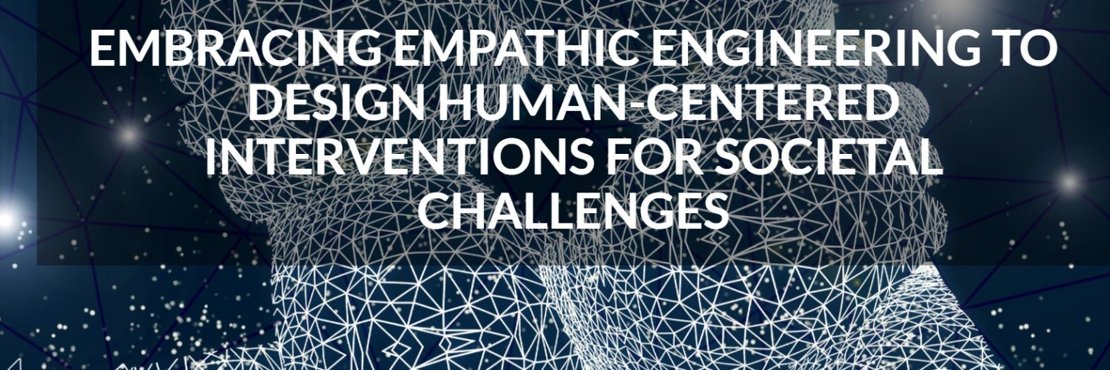
Nigeria
Geo-Information Mapping Technologies (GMT) Limited — A “first of its kind” in Northern Nigeria. The company serves as a benchmark for integrated Geospatial Information Technologies applications in strategic societal benefit areas through combining Earth Observation (EO)/Remote Sensing (RS), Global Positioning Systems (GPS), Geographic Information Systems (GIS) and Drones.
We aim to educate, mobilize and increase the number of users of Earth Observation and other GRIDded data and services (e.g. Copernicus, USGS, etc.) in governments, private sector, non-governmental organizations and citizens at large to be involved in tackling environmental challenges and mitigate climate change threats using Geospatial Technologies for good governance and sustainable development agendas.
www.gmtsolutions.com
I bring you warm greetings from STEi Foundation, a young and promising Pan African Nonprofit Organization.
No doubt, natural resources management (NRM) stands for a sustainable use of materials that come from nature (i.e. land, forest, wildlife, wetland/watersheds, etc.) towards optimizing their economic, social and cultural values for both present and future human generations.
We at STEi Foundation are hopeful that, if a natural resource such as a tropical forest (for example) , is used in a sustainable manner, the resource can supply the critical raw materials that are needed to grow any African country’s economy, protect biodiversity, conserve wetland/watershed, bring food security to communities and boost community livelihoods.
It is consequent upon the foregoing that, STEi Foundation is established to contribute to greening the environment and empowering the women and young people in rural Africa. This is our overall objective. The outcomes from the aforementioned goal will contribute to supporting economically viable, socially acceptable and ecologically sound natural resources conservation in Africa.
Tanzania
GeoData Consultants Limited is a private company to offer reliable, accurate and timely spatial data / information with ICT related products based on the state-of-the-technology from qualified, motivated and competent staff.
Provision of professional services and products through experienced, responsible and committed staff in Geospatial sciences and Entrepreneurship development in order to accelerate poverty eradication efforts and hasten sustainable development.
GeoData Consultants Limited is a profit making company whose activities and products are customer-oriented. Our focus and goals aim at contributing to the sustainable land use, natural resources and environmental management by providing services and products through the latest technologies.
Turkey
Aperigae is a company providing geospatial solutions to government, defense business and industry.
Aperigae aims at exploring the useful, relevant and innovative geospatial information, geo-location intelligence for business, sustainable development, modern governing, defense and security whereas aperigae is respectful to environment protection, preserve the Earth for future generations and high values of human civilization.
Uganda
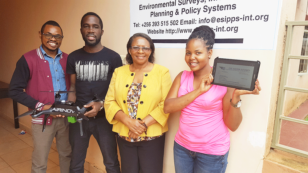
Environmental Surveys, Information, Planning and Policy Systems (ESIPPS) was incorporated in Uganda in 2008 to provide local, national and international level environmental consultancy services.
ESIPPS International Limited focuses its services on Research, Consultancy & Capacity Development in the field of environmental surveys and assessments, environment information, environment impact assessment, planning and policy.
United Kingdom
Zimbabwe
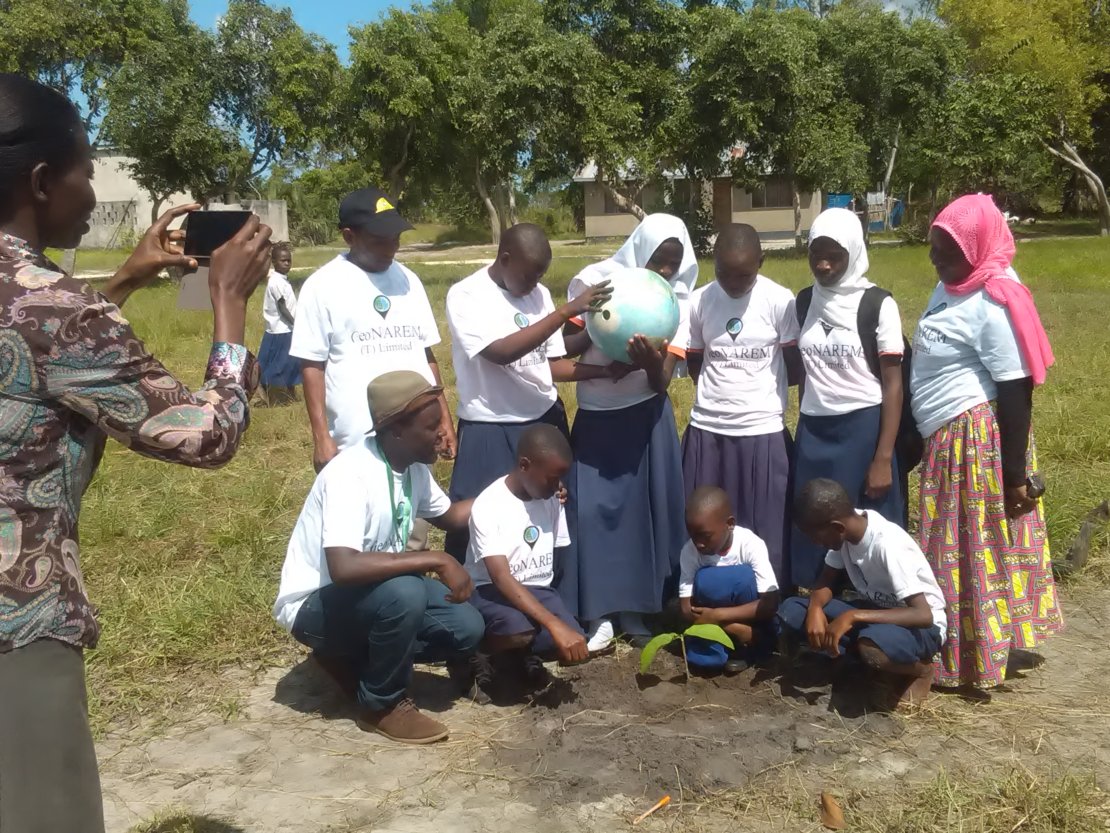
Summerplace Natural Resources (Pvt) Ltd (SUNRE) provides specialty-consulting services in environment, agriculture, natural resources and related disciplines supported by Geospatial technologies to a wide range of clients both public and private sector.
The company was started in 2014 headquartered in Harare Zimbabwe with company office in Gweru, and representatives in Mutare, Maputo (Mozambique), Namibia. SUNRE hosts several both full and part time professional scientists with extensive accumulated experience in all aspects of agriculture, environment and natural resources management with a heavy bias towards geospatial technologies.
http://www.summerplaceresources.co.zw/