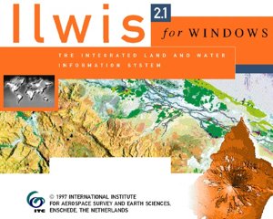
Introduction of the het Integrated Land and Water Information Systems (ILWIS)
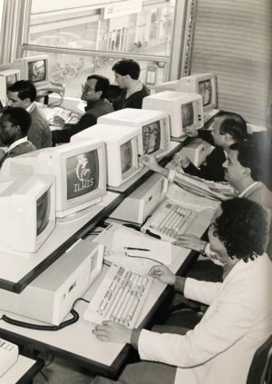
The ITC's research was increasingly funneled through a long-term interdisciplinary project called "Integrated Land and Water Information Systems (ILWIS)". It all started with the 'Sumatra project' led by Dr. A.M.J. Meijerink. The long title was "Geo-information systems for land use zoning and watershed management" and the explicit aim was "to develop a computer system as a tool for planning in agriculture and in watersheds." The project was explicitly set up as a pilot to assess how GIS system incorporating problems of deforestation, soil erosion and sediment trransport in rivers could be built and how it could be used in policy-making to combat environmental and soel degradation.
ILWIS was incubated at the ITC, where it was used in teaching and by various departments to manage Geo-information.
(Taken from "60 years of ITC", Nil Disco (2010), p93-94)