International Seminar on Earthobservation satellite SPOT.
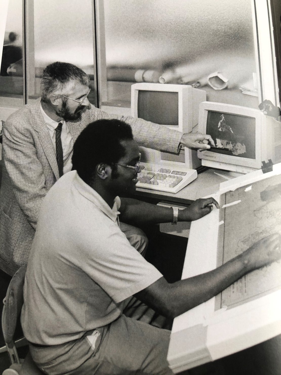
The use of SPOT meant the start of a new era for the ITC: the era of Geographical Information Systems.
In September 1983 current rector Klaas Jan Beek gathered fifteen ITC faculty members to discuss how to set up an institute-wide GIS working group. Those present agreed that the ITC was well equipped to develop a GIS capacity. It was considered important "to determine our own profile and to exhibit this clearly to the outside". The meeting made an inventory of possivle research domains, considered definitions of GIS, and tried to define how a GIS working group would fit into ITC's new structure. (Taken from "60 years of ITC", Nil Disco (2010), p91)
(Foto taken from "60 years of ITC", Nil Disco (2010), p76)