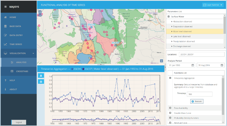
MAJISYS is a free and open source web-based time series management and information system for sharing, processing, analyzing, visualizing and disseminating environmental data. MAJISYS is the result of a development cooperation under the IWRAP programme (https://sites.google.com/site/iwrapprojectnvs/home/project-definition) between the University of Twente | Faculty ITC (departments GIP and WRS), Deltares and Upande.
The term MAJISYS originates from the Swahili word "maji" meaning "water" and "sys" for "system", substituting the name "water-information-system" which was used in its early days of development.
Click this brochure for more information.
MAJISYS was deployed at several organizations, but for demonstration purposes we have deployed an independent instance at the Faculty ITC, using a generic configuration and non-proprietary demo-data.
The demo website of MAJISYS can be accessed from http://majisysdemo.itc.utwente.nl/majisys/
Demo (read-only) user:
user: demo
pass: demo