Droughts are a global problem
“Droughts are a problem globally, and they can occur over short periods of time. We call these meteorological droughts, and they usually occur due to changing climatic patterns ” states Michael Marshall, assistant professor from the NRS Department (ITC Faculty) involved in the EO-Africa Research and Development project by the European Space Agency.
Meteorological droughts can persist over months, or even years, turning into agricultural droughts. They really affect farmer and pastoralist communities, as they depend on rainfall for their livelihood. Predicting these droughts is important, because information about the severity of the drought, or how long it might be, can help organizing ahead of time. This organization can mean direct measures like food aid or the cultivation of coping mechanisms like agroforestry.
The ITC Faculty, along with CNR-REA, BOKU, University of Milano and University of Milano-Bicocca was awarded an Explorers Expro+ grant from the European Space Agency to develop a new project, “Enhancing ECOSTRESS drought monitoring with hyperspectral narrowbands”. Also known as HyRELIEF, this project aims to improve drought monitoring with better data, tools, and an interface with end users.
Kapiti Ranch
Droughts affect many arid and semi-arid regions in Africa. “For this project, we focus on a pilot area, Kapiti Ranch, which is in Machakos County, Kenya” states Michael, “this area is very dry, and we also have a number of field instruments deployed which will help us to develop our drought monitoring tools”. Machakos faces high rainfall variability and is an important an area for agriculture and livestock in Kenya.
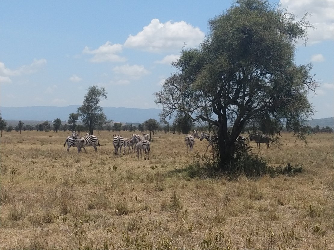 African zebras at the Kapiti Ranch (Credit: Anton Vrieling)
Forecasting droughts using evapotranspiration
Currently, there are different methods to predict droughts. For example, by trying to predict the amount, duration and timing of the rainfall. However, this method has a flaw: if it’s hot, the water evaporates before penetrating the soil or if the soil cannot hold the water, the water leaves the root zone before it can be taken up by crops or forage. There is another method, however, that accounts for the amount of water that reaches the plants. It is called evapotranspiration.
Evapotranspiration is harder to estimate than rainfall because it measures the amount of water that leaves a plant through its stomata and is evaporated from the surface. “Stomata are like pores in your skin” explains Michael “This is where plants take in carbon to make food during photosynthesis, but at the same time, when these pores open, water leaves. This is transpiration. The combination of transpiration and evaporation is evapotranspiration”
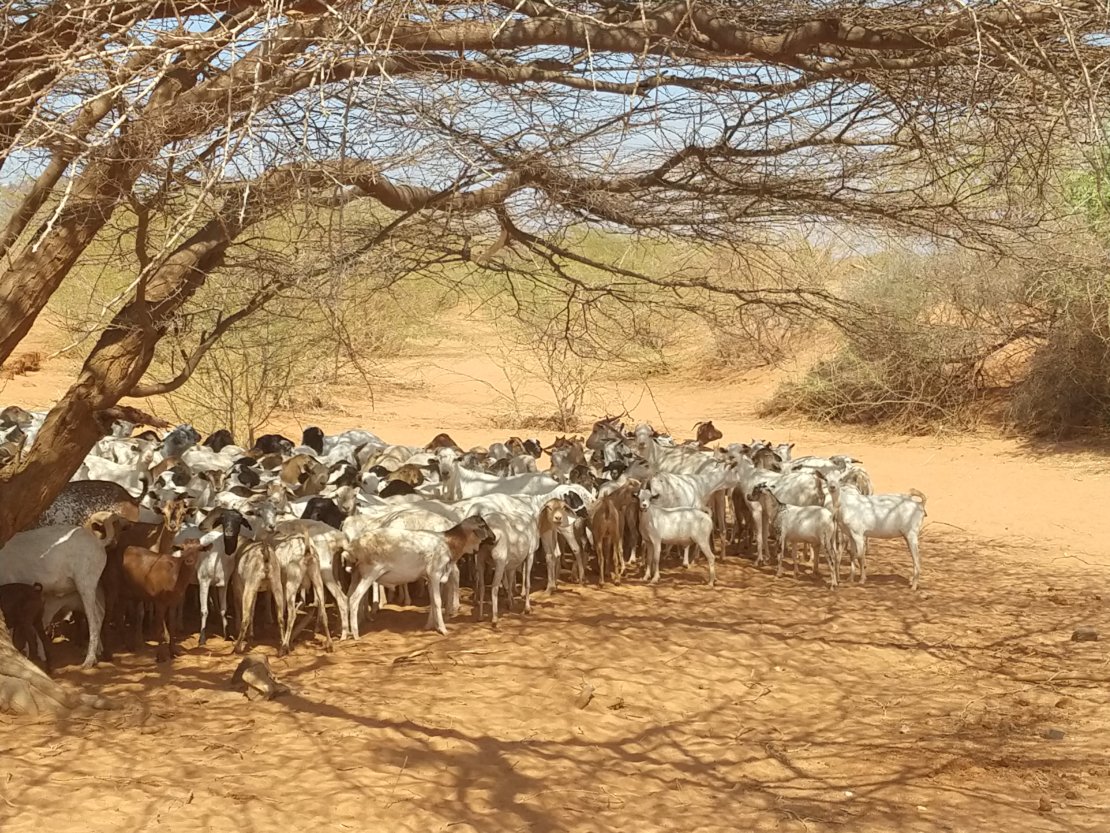 Droughts severely affect pastoralist communities (Credit: Anton Vrieling)
Satellite renaissance
The broadband sensors are the instruments normally used to measure evapotranspiration. They detect light from the ground over specific wavelengths, as the blue part of the spectrum, the green or the red, but they don’t provide very detailed information. Hyperspectral remote sensing, on the other hand, uses what we call narrow bands, providing a much finer detail “Imagine the famous Starry Night painting by Van Gogh but it's very blurry. That represents your broadband wavelength sensor. Then as you focus in, you see the stars, church steeple, tree, etc.; that's what the narrowband is doing spectrally” explains Michael Marshall. With these details, scientists can tell how much chlorophyll the plant has, which is an important pigment involved in photosynthesis, how much soil moisture there is or find out things like vegetation height or biomass.
Hyperspectral data weren’t available from space for several years now, “but now we're going through a renaissance. There are a couple of missions already up and a few planned. The planned missions retrieve hyperspectral narrowbands in the same place at frequent intervals for the first time.” says Michael.
The data for HyRELIEF will be collected with the Italian Space Agency’s PRISMA hyperspectral platform and ECOSTRESS, which is a sensor on the International Space Station that collects thermal infrared information. This energy is emitted by the surface at very long wavelengths, which can also track changes in evapotranspiration.
An agile process
The drought monitoring data and tool will be presented as a prototype at the RCMRD (Nairobi) to the end users, which are researchers, technicians, and decision-makers that serve the farmers and pastoralists. The active participation of the end users from the very beginning will ensure the prototype is more usable, “They are going to use the data, it's important to bring them in an agile, organic process even before the workshop” states Michael.
More information about the project
This project is developed with an EO Africa – Explores Expro+ grant from the European Space Agency along with the partners CNR-IREA, BOKU, University of Milano, and University Milano-Bicocca. For more information, please contact Michael Marshall.
Evapotranspiration and crop water productivity are taught on the course Earth Observation for Natural Resource Management, from the ITC’s MSc Programme in Geo Information Science and Earth Observation.